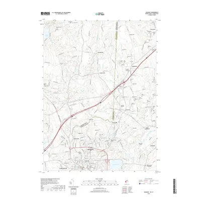
2018 Map of Ashaway
USGS Topo · Published 2018About this map
The Pawcatuck River carves a winding path along the border of Connecticut and Rhode Island, serving as a focal point for historic industrial and residential growth in this corner of Washington and New London counties. Settlements such as Stillmanville, White Rock, and Potter Hill trace the river's edge, while Ashaway and Pawcatuck anchor the southern reaches. This landscape is exceptionally dense with genealogical history, preserving dozens of private family burial sites and smaller commemorative plots such as the Francis Tanner Lot and the General George Thurston Plot. Moving north from the river valley, the terrain rises toward Pitcher Mtn and Champlin Hill, where the land is characterized by small brooks like Wyassup Brook and protected wetlands such as Hetchel Swamp. The intersection of modern transportation via the Amtrak line and ancient family holdings provides a clear view of the area's transition from early colonial settlement to its modern role.
Find a feature on this map
189 named features on this map. Tap any name to fly to it.
Don’t see what you’re looking for? This feature index may not catch every label — zoom into the map to look around manually.
Map Details
Editions of this 2018 Ashaway Map
This is the sole edition of this map. No revisions or reprints were ever made.
Other maps of this area

1889 · Stonington
USGS Topo · 1:62,500

1889 · Charlestown
USGS Topo · 1:62,500

1889 · Moosup
USGS Topo · 1:62,500

1890 · Kent
USGS Topo · 1:62,500

1893 · Moosup
USGS Topo · 1:62,500

1893 · Stonington
USGS Topo · 1:62,500

1894 · Kent
USGS Topo · 1:62,500

1919 · Charlestown
USGS Topo · 1:62,500

1920 · Moosup
USGS Topo · 1:62,500

1921 · Charlestown
USGS Topo · 1:62,500