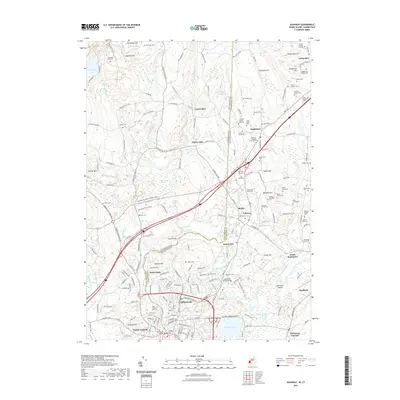
2021 Map of Ashaway
USGS Topo · Published 2021About this map
Pawcatuck and the Pawcatuck River anchor the southern boundary of this region, where the state line between Connecticut and Rhode Island meets the shared border of New London and Washington counties. The landscape is notably marked by an extensive collection of family burial plots and small cemeteries, such as the Francis Tanner Lot Cem, Oatley Plot, and Sarah Larkin Plot, reflecting a deep genealogy of local land ownership.
Find a feature on this map
189 named features on this map. Tap any name to fly to it.
Don’t see what you’re looking for? This feature index may not catch every label — zoom into the map to look around manually.
Map Details
Editions of this 2021 Ashaway Map
This is the sole edition of this map. No revisions or reprints were ever made.
Other maps of this area

1889 · Stonington
USGS Topo · 1:62,500

1889 · Charlestown
USGS Topo · 1:62,500

1889 · Moosup
USGS Topo · 1:62,500

1890 · Kent
USGS Topo · 1:62,500

1893 · Moosup
USGS Topo · 1:62,500

1893 · Stonington
USGS Topo · 1:62,500

1894 · Kent
USGS Topo · 1:62,500

1919 · Charlestown
USGS Topo · 1:62,500

1920 · Moosup
USGS Topo · 1:62,500

1921 · Charlestown
USGS Topo · 1:62,500