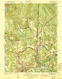
1943 Map of Ashaway
USGS Topo · Published 1943About this map
The Pawcatuck River winds through the borderlands of Connecticut and Rhode Island, serving as a geographic anchor for industrial and residential development during the early 1940s. On the Rhode Island side, the villages of Ashaway and Potter Hill sit along the riverbanks, while the larger hubs of Westerly and Pawcatuck dominate the southern portion of the sheet near the New York New Haven and Hartford Railroad corridor. The map reveals a dense network of local history, from the rural Shunock Sch and Union Cem in Stonington to the established Oak Grove Cem near Hopkinton. Moving north, the terrain becomes more varied with features like Mount Moriah and the Woody Hill Reservation, illustrating the transition from the busy rail-and-river economy of the towns to the more sparsely settled hills and swamps like Bell Cedar Swamp.
Find a feature on this map
70 named features on this map. Tap any name to fly to it.
Don’t see what you’re looking for? This feature index may not catch every label — zoom into the map to look around manually.
Map Details
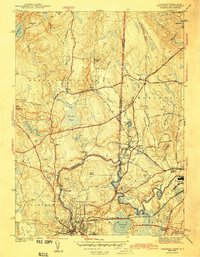
Editions of this 1943 Ashaway Map
2 editions found
Other maps of this area

1889 · Stonington
USGS Topo · 1:62,500

1889 · Charlestown
USGS Topo · 1:62,500

1889 · Moosup
USGS Topo · 1:62,500

1890 · Kent
USGS Topo · 1:62,500

1893 · Moosup
USGS Topo · 1:62,500

1893 · Stonington
USGS Topo · 1:62,500

1894 · Kent
USGS Topo · 1:62,500

1919 · Charlestown
USGS Topo · 1:62,500

1920 · Moosup
USGS Topo · 1:62,500

1921 · Charlestown
USGS Topo · 1:62,500