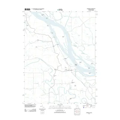
2012 Map of Ashburn
USGS Topo · Published 2012About this map
The Mississippi River corridor dominates this Pike County landscape, defined by a complex network of backwaters, sloughs, and riverine islands. Small riverbank settlements such as Ashburn and Mundy Landing provide access to the water, while the interior is dotted with family and community burial grounds including Centenary Cemetery, Jolly Cemetery, and Schindler Cemetery. The topography reveals the hydrologic heritage of the region, where the Salt River meanders toward its confluence, passing Horseshoe Lake and the Ashburn Bridge. This area is characterized by significant conservation efforts within the Ted Shanks Wildlife Mgt Area, protecting the varied aquatic environments of The Sny and Hadley-McCraney-Diversion-Ditch that manage the floodplain's drainage.
Find a feature on this map
63 named features on this map. Tap any name to fly to it.
Don’t see what you’re looking for? This feature index may not catch every label — zoom into the map to look around manually.
Map Details
Editions of this 2012 Ashburn Map
This is the sole edition of this map. No revisions or reprints were ever made.
Other maps of this area

1890 · Louisiana
USGS Topo · 1:125,000

1931 · Barry
USGS Topo · 1:62,500

1932 · Hannibal
USGS Topo · 1:62,500

1936 · Hannibal
USGS Topo · 1:48,000

1936 · Barry
USGS Topo · 1:48,000

1937 · Bowling Green
USGS Topo · 1:62,500

1940 · Bowling Green
USGS Topo · 1:62,500

1943 · Vandalia
USGS Topo · 1:62,500

1944 · Barry
USGS Topo · 1:62,500

1945 · Hannibal
USGS Topo · 1:62,500