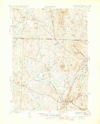
1946 Map of Ashburnham
USGS Topo · Published 1946About this map
Ashburnham serves as the focal point for this mid-1940s landscape, where the town center and the smaller Blackburn Village sit south of a series of large glacial water bodies. The geography is dominated by the Millers River and the massive Lake Monomonac, which straddles the Massachusetts and New Hampshire state line. Transport and recreation of the era are clearly defined by the Boston and Maine Railroad and the winding Wapack Trail and Midstate Trail routes.
Find a feature on this map
61 named features on this map. Tap any name to fly to it.
Don’t see what you’re looking for? This feature index may not catch every label — zoom into the map to look around manually.
Map Details
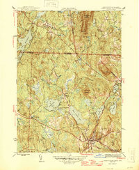
Editions of this 1946 Ashburnham Map
2 editions found
Other maps of this area

1887 · Winchendon
USGS Topo · 1:62,500

1887 · Fitchburg
USGS Topo · 1:62,500

1889 · Fitchburg
USGS Topo · 1:62,500

1890 · Winchendon
USGS Topo · 1:62,500

1893 · Fitchburg
USGS Topo · 1:62,500

1894 · Winchendon
USGS Topo · 1:62,500

1898 · Monadnock
USGS Topo · 1:62,500

1900 · Peterboro
USGS Topo · 1:62,500

1931 · Fitchburg
USGS Topo · 1:48,000

1932 · Winchendon
USGS Topo · 1:48,000