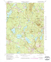
1965 Map of Ashburnham
USGS Topo · Published 1984About this map
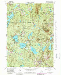
The Wapack Range and Mount Watatic anchor this mid-1960s survey of the Massachusetts-New Hampshire borderlands, where the rocky terrain and numerous glacial lakes shaped early industrial and residential development. In Ashburnham, the campus of Cushing Academy stands near the village center, while smaller settlements like Lane Village and Wellville sit tucked between Lower Naukeag Lake and Upper Naukeag Lake. The Boston and Maine railroad tracks cut through the southern landscape, reflecting the region's historical reliance on rail for transport. Large tracts of the Ashburnham State Forest and the Watatic Mtn Wildlife Area demonstrate a shift toward conservation and recreation, including several ski tows on the slopes. From the Bancroft Reservoir in the north to Lake Wampanoag in the south, the map details a landscape defined by its water resources and high points like Little Watatic Mountain.
Find a feature on this map
98 named features on this map. Tap any name to fly to it.
Don’t see what you’re looking for? This feature index may not catch every label — zoom into the map to look around manually.
Map Details
Editions of this 1965 Ashburnham Map
5 editions found
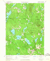
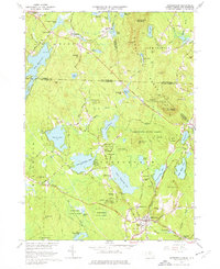
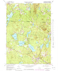
Other maps of this area

1887 · Winchendon
USGS Topo · 1:62,500

1887 · Fitchburg
USGS Topo · 1:62,500

1889 · Fitchburg
USGS Topo · 1:62,500

1890 · Winchendon
USGS Topo · 1:62,500

1893 · Fitchburg
USGS Topo · 1:62,500

1894 · Winchendon
USGS Topo · 1:62,500

1898 · Monadnock
USGS Topo · 1:62,500

1900 · Peterboro
USGS Topo · 1:62,500

1931 · Fitchburg
USGS Topo · 1:48,000

1932 · Winchendon
USGS Topo · 1:48,000