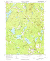
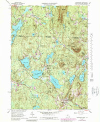
1965 Map of Ashburnham
USGS Topo · Published 1976About this map
Ashburnham and its surrounding hill country are characterized by a dense network of glacial lakes and state-protected woodlands during the mid-1960s. The village of Ashburnham serves as the focal point, anchored by the campus of Cushing Academy and the junction of Main St and Central St. This era shows the Boston and Maine Railroad still threading through the landscape, connecting specialized hamlets like Factory Village and Blackburn Village along the southern edge.
Find a feature on this map
113 named features on this map. Tap any name to fly to it.
Don’t see what you’re looking for? This feature index may not catch every label — zoom into the map to look around manually.
Map Details
Editions of this 1965 Ashburnham Map
5 editions found
Other maps of this area

1887 · Winchendon
USGS Topo · 1:62,500

1887 · Fitchburg
USGS Topo · 1:62,500

1889 · Fitchburg
USGS Topo · 1:62,500

1890 · Winchendon
USGS Topo · 1:62,500

1893 · Fitchburg
USGS Topo · 1:62,500

1894 · Winchendon
USGS Topo · 1:62,500

1898 · Monadnock
USGS Topo · 1:62,500

1900 · Peterboro
USGS Topo · 1:62,500

1931 · Fitchburg
USGS Topo · 1:48,000

1932 · Winchendon
USGS Topo · 1:48,000