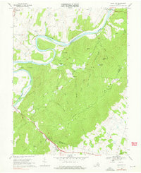
1970 Map of Ashby Gap
USGS Topo · Published 1976About this map
Ashby Gap stands as a pivotal mountain pass in the early 1970s, where the high ridges of the Blue Ridge meet the rolling valley floor. This survey documents a landscape defined by the winding course of the Shenandoah River, which creates distinctive geographical features like Calmes Neck and Burwell Island. The map records the rural social fabric of the era through scattered congregations at Mountain Ch, Providence Chapel, and Mt Carmel Ch, alongside small crossroad settlements like Berrys and Paris.
Find a feature on this map
43 named features on this map. Tap any name to fly to it.
Don’t see what you’re looking for? This feature index may not catch every label — zoom into the map to look around manually.
Map Details
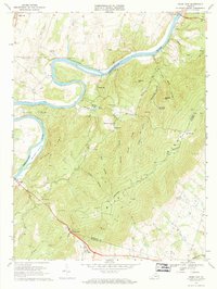
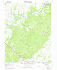
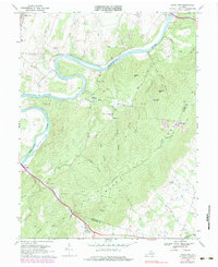
Editions of this 1970 Ashby Gap Map
4 editions found
Other maps of this area

1884 · Harpers Ferry
USGS Topo · 1:125,000

1891 · Harpers Ferry
USGS Topo · 1:125,000

1893 · Luray
USGS Topo · 1:125,000

1893 · Harpers Ferry
USGS Topo · 1:125,000

1894 · Warrenton
USGS Topo · 1:125,000

1894 · Winchester
USGS Topo · 1:125,000

1905 · Luray
USGS Topo · 1:125,000

1916 · Berryville
USGS Topo · 1:62,500

1938 · Winchester
USGS Topo · 1:48,000

1939 · Front Royal
USGS Topo · 1:48,000