
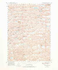
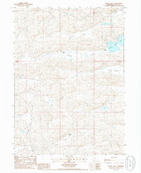
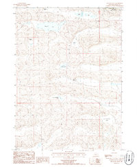
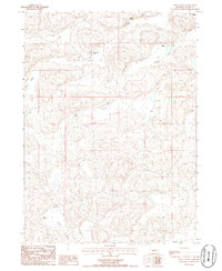
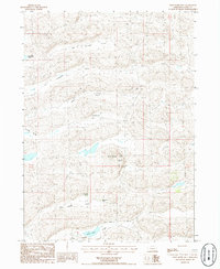
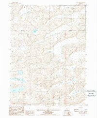
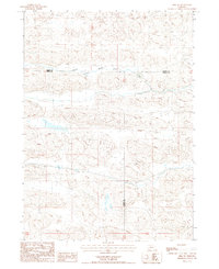
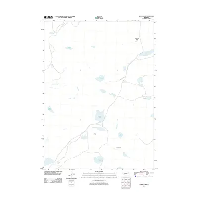
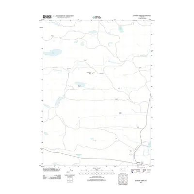
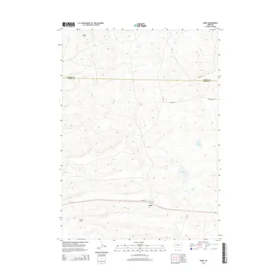
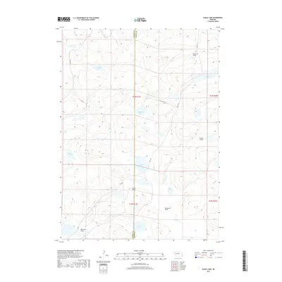
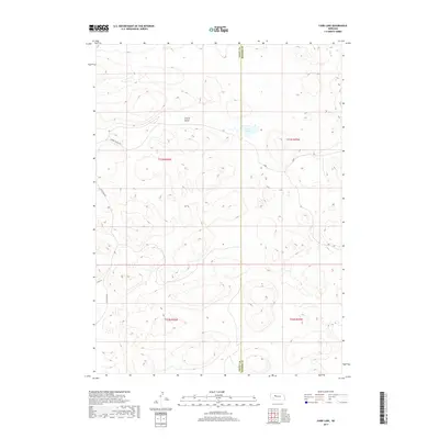
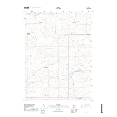
2021 Map of Ashby
USGS Topo · Published 2021About this map
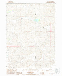
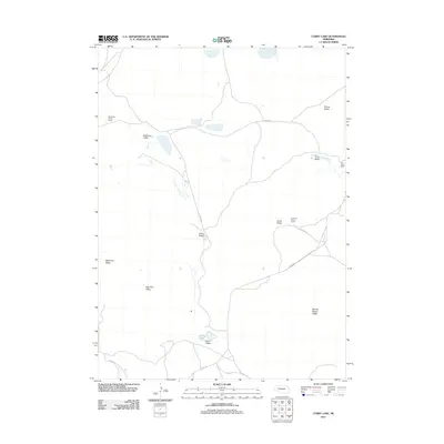
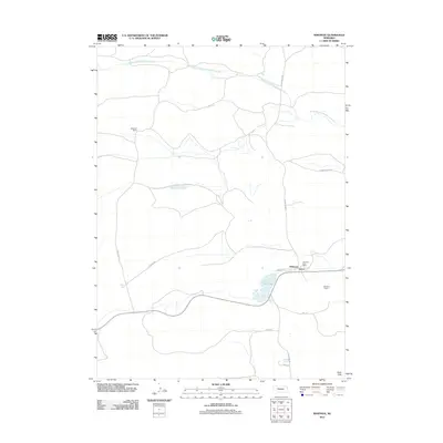
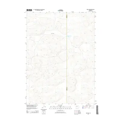
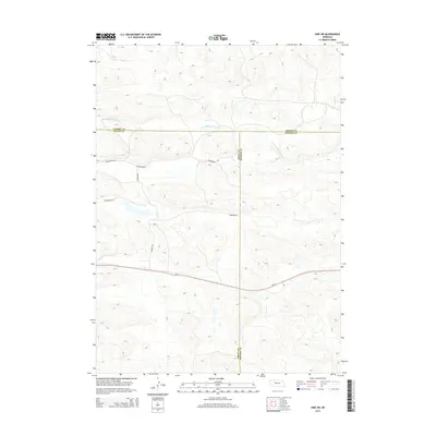
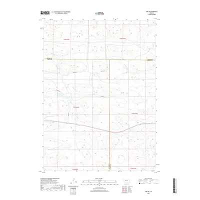
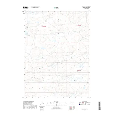
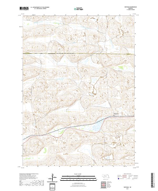
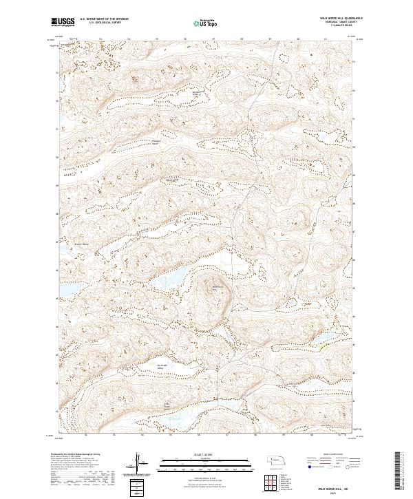
Ashby serves as the primary focal point of this western Nebraska survey, situated along the corridor of Railroad Dr. The settlement is positioned in the southern portion of the landscape, where the flat valley floor gives way to the characteristic Sandhills terrain. To the north and west, the topography is defined by prominent elevations such as Indian Hill and the broad expanse of Larkin Valley, illustrating the rhythmic dune formations of the region.
Find a feature on this map
20 named features on this map. Tap any name to fly to it.
Don’t see what you’re looking for? This feature index may not catch every label — zoom into the map to look around manually.
Map Details
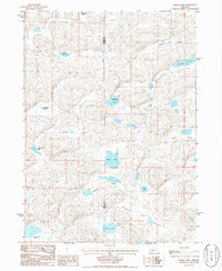
Editions of this 2021 Ashby Map
This is the sole edition of this map. No revisions or reprints were ever made.
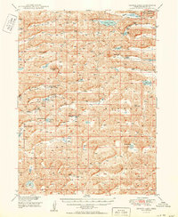
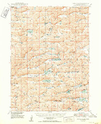
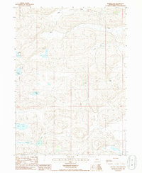
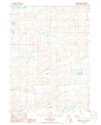
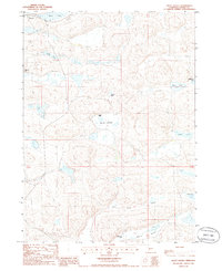
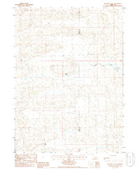
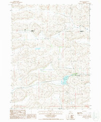
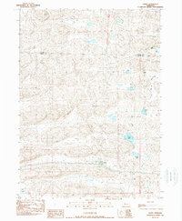
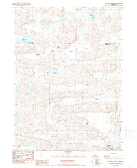
Historical Maps of Ashby Through Time
89 maps found
1948 George Lake
Grant County, NE

1948 Spring Valley
Grant County, NE
1950 George Lake
Grant County, NE
1950 Spring Valley
Grant County, NE
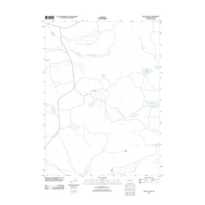
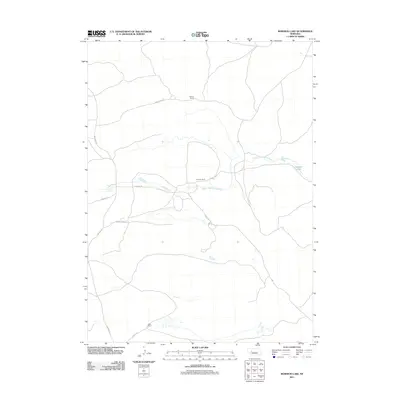
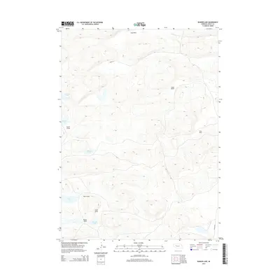
1985 Bunner Lake
Grant County, NE
1985 Carr Lake
Grant County, NE
1985 Middle Valley
Grant County, NE
1985 Pratt Valley
Grant County, NE
1985 Rosebud Lake
Grant County, NE
1985 Spring Valley
Grant County, NE
1986 Alkali Lake
Grant County, NE
1986 Curry Lake
Grant County, NE
1986 George Lake SE
Grant County, NE
1986 Hyannis South
Grant County, NE
1986 Long Valley
Grant County, NE
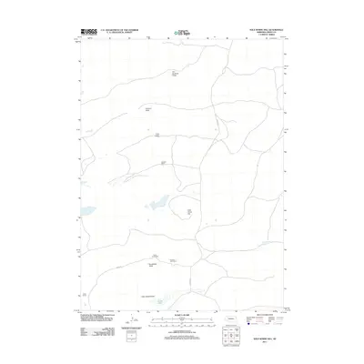
1986 Wild Horse Hill
Grant County, NE
1987 Frye Lake
Grant County, NE
1987 Hire SW
Grant County, NE
1987 Whitman
Grant County, NE
1989 Ashby
Grant County, NE
1989 Hyannis North
Grant County, NE
2011 Alkali Lake
Grant County, NE
2011 Ashby
Grant County, NE
2011 Bunner Lake
Grant County, NE
2011 Carr Lake
Grant County, NE
2011 Curry Lake
Grant County, NE
2011 Frye Lake
Grant County, NE
2011 George Lake SE
Grant County, NE
2011 Hire SW
Grant County, NE
2011 Hyannis North
Grant County, NE
2011 Hyannis South
Grant County, NE
2011 Long Valley
Grant County, NE
2011 Middle Valley
Grant County, NE
2011 Pratt Valley
Grant County, NE
2011 Rosebud Lake
Grant County, NE
2011 Spring Valley
Grant County, NE
2011 Whitman
Grant County, NE
2011 Wild Horse Hill
Grant County, NE
2014 Alkali Lake
Grant County, NE
2014 Ashby
Grant County, NE
2014 Bunner Lake
Grant County, NE
2014 Carr Lake
Grant County, NE
2014 Curry Lake
Grant County, NE
2014 Frye Lake
Grant County, NE
2014 George Lake SE
Grant County, NE
2014 Hire SW
Grant County, NE
2014 Hyannis North
Grant County, NE
2014 Hyannis South
Grant County, NE
2014 Long Valley
Grant County, NE
2014 Middle Valley
Grant County, NE
2014 Pratt Valley
Grant County, NE
2014 Rosebud Lake
Grant County, NE
2014 Spring Valley
Grant County, NE

2014 Whitman
Grant County, NE
2014 Wild Horse Hill
Grant County, NE
2017 Alkali Lake
Grant County, NE
2017 Ashby
Grant County, NE
2017 Bunner Lake
Grant County, NE
2017 Carr Lake
Grant County, NE
2017 Curry Lake
Grant County, NE
2017 Frye Lake
Grant County, NE
2017 George Lake SE
Grant County, NE
2017 Hire SW
Grant County, NE
2017 Hyannis North
Grant County, NE
2017 Hyannis South
Grant County, NE
2017 Long Valley
Grant County, NE
2017 Middle Valley
Grant County, NE
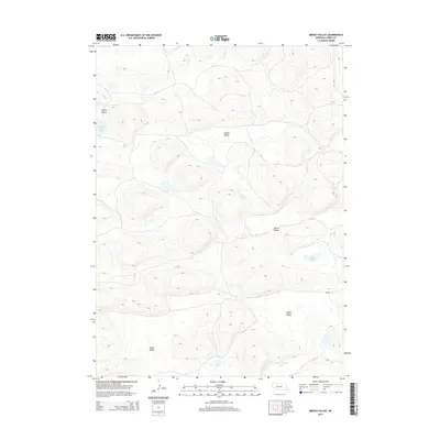
2017 Pratt Valley
Grant County, NE
2017 Rosebud Lake
Grant County, NE
2017 Spring Valley
Grant County, NE
2017 Whitman
Grant County, NE
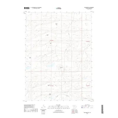
2017 Wild Horse Hill
Grant County, NE
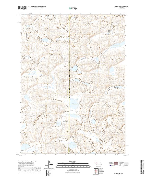
2021 Alkali Lake
Grant County, NE
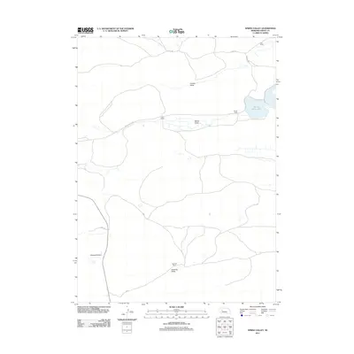
2021 Ashby
Grant County, NE
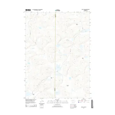
2021 Bunner Lake
Grant County, NE
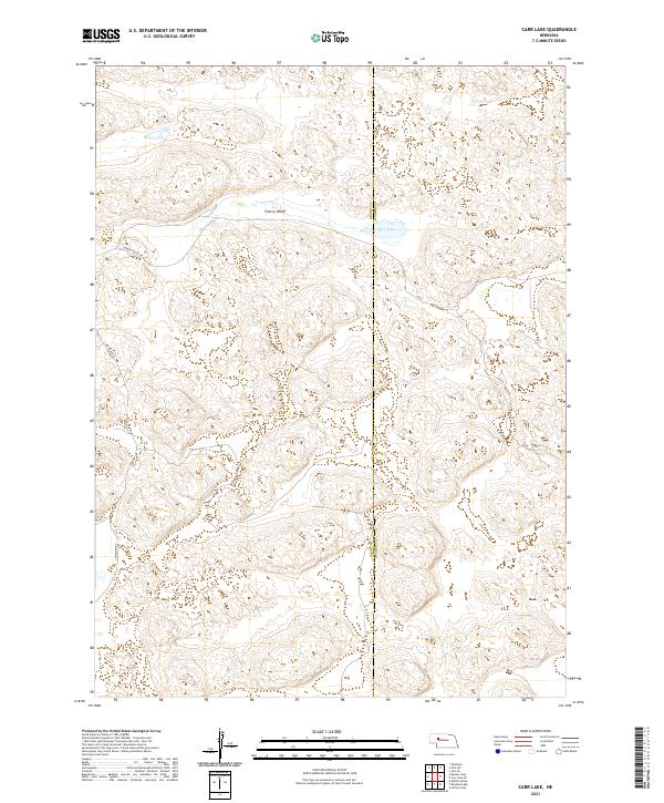
2021 Carr Lake
Grant County, NE
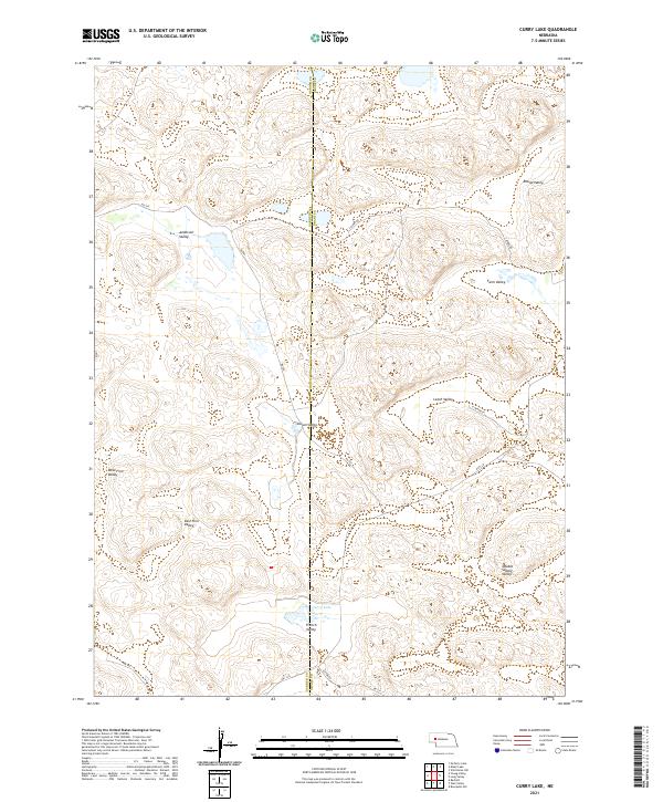
2021 Curry Lake
Grant County, NE
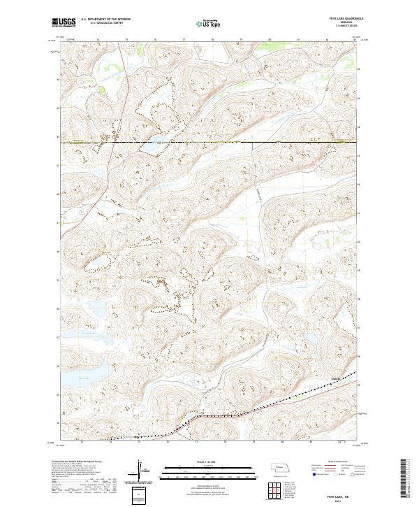
2021 Frye Lake
Grant County, NE
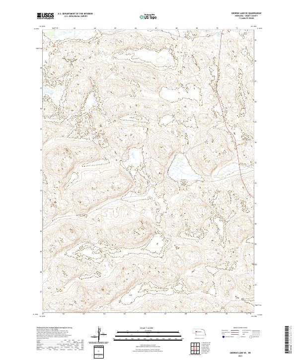
2021 George Lake SE
Grant County, NE
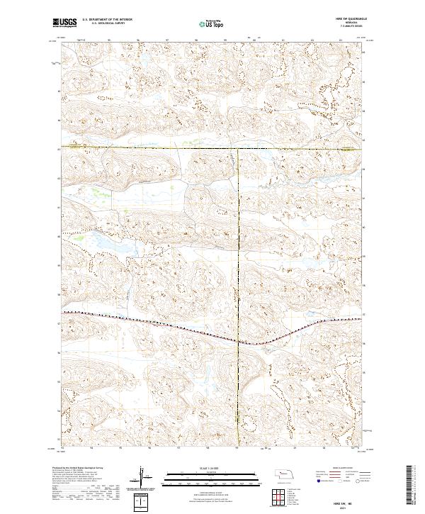
2021 Hire SW
Grant County, NE
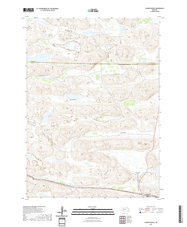
2021 Hyannis North
Grant County, NE
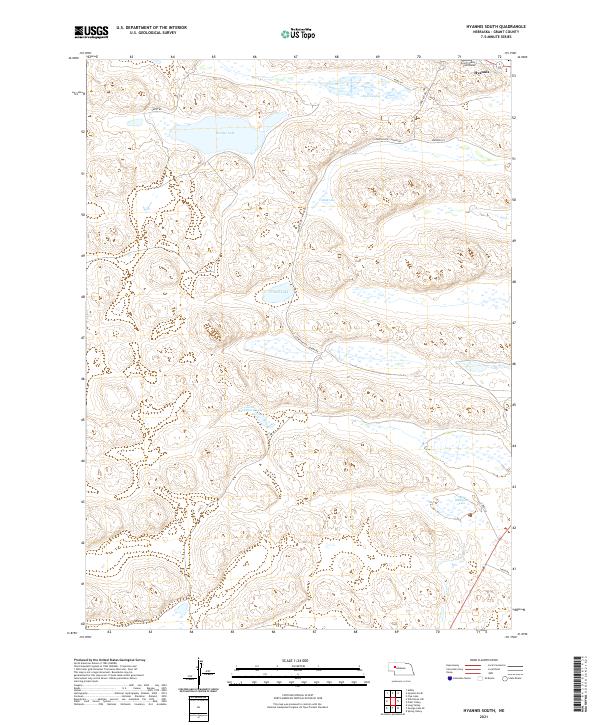
2021 Hyannis South
Grant County, NE
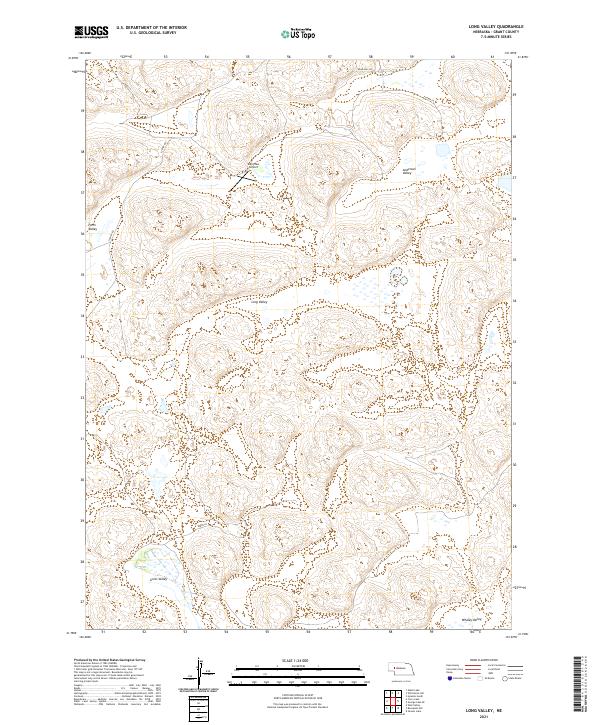
2021 Long Valley
Grant County, NE
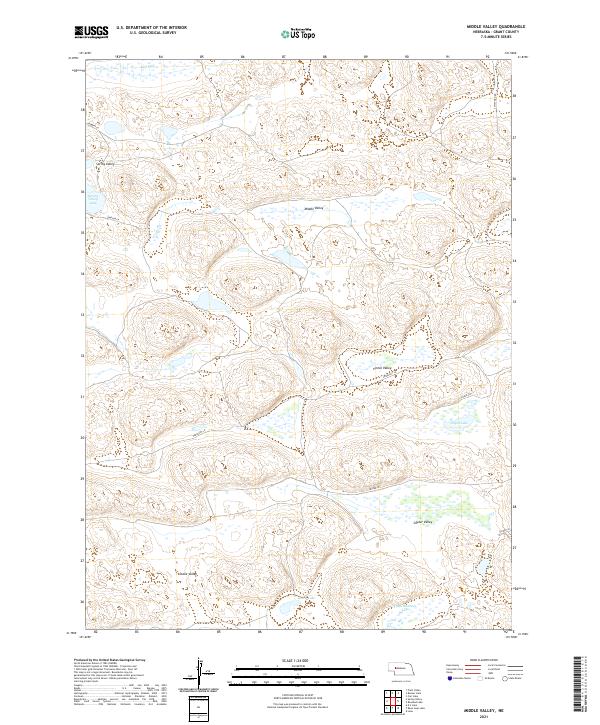
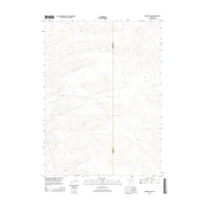
2021 Middle Valley
Grant County, NE
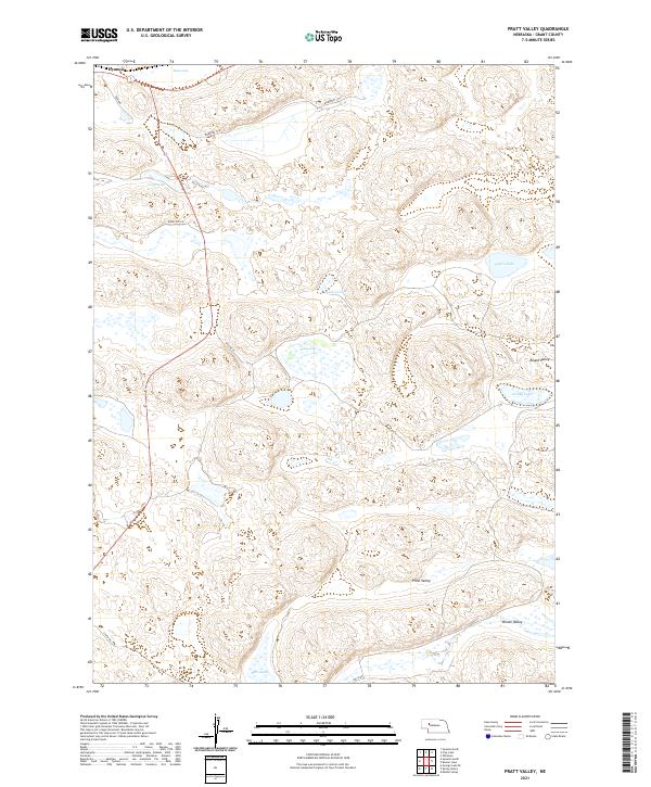
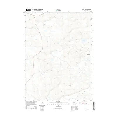
2021 Pratt Valley
Grant County, NE
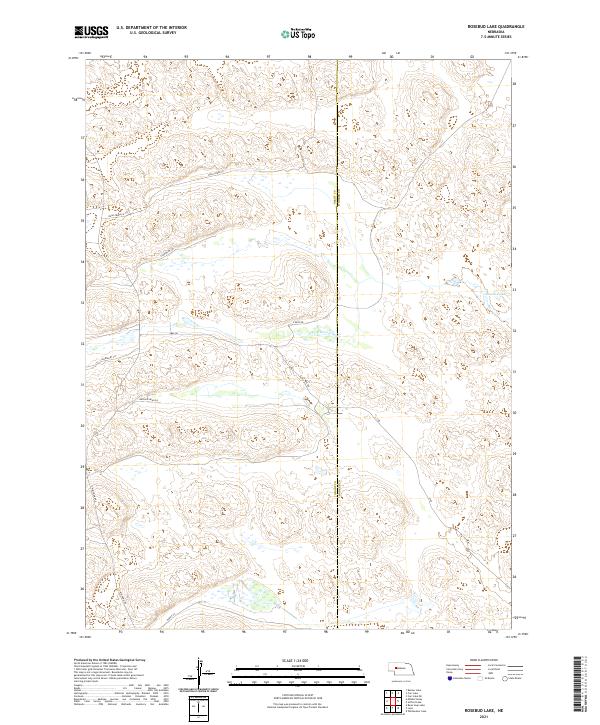
2021 Rosebud Lake
Grant County, NE
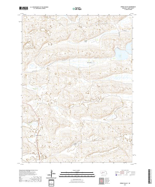
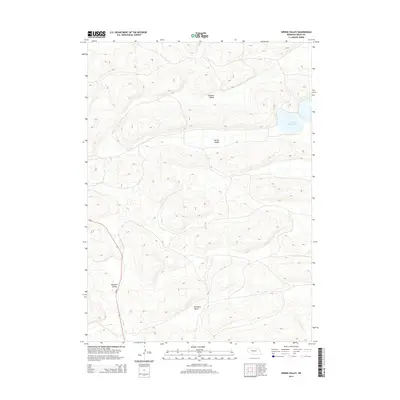
2021 Spring Valley
Grant County, NE
2021 Whitman
Grant County, NE
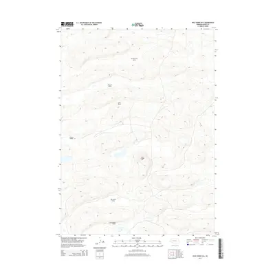
2021 Wild Horse Hill
Grant County, NE