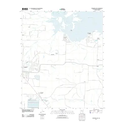
2011 Map of Ashdown East
USGS Topo · Published 2011About this map
Millwood Lake dominates the northern landscape of this survey, where the Little River meets a network of smaller tributaries like Lick Creek, Beaver Creek, and Hurricane Creek. The area surrounding the lake shows several recreational and residential developments, including Yarborough Landing and Jacks Isle, while the eastern portion remains more rural with the settlement of Fomby. The map provides significant detail for local historians and genealogists, specifically noting the locations of the Cook Cemetery, Peytonville Cemetery, and Newsom Cemetery.
Find a feature on this map
81 named features on this map. Tap any name to fly to it.
Don’t see what you’re looking for? This feature index may not catch every label — zoom into the map to look around manually.
Map Details
Editions of this 2011 Ashdown East Map
This is the sole edition of this map. No revisions or reprints were ever made.
Other maps of this area

1950 · Ashdown East
USGS Topo · 1:24,000

1950 · Ashdown West
USGS Topo · 1:24,000

1950 · Ogden
USGS Topo · 1:24,000

1950 · Red Bluff
USGS Topo · 1:24,000

1950 · Ben Lomond
USGS Topo · 1:24,000

1950 · Barkman
USGS Topo · 1:24,000

1950 · Falls Chapel
USGS Topo · 1:24,000

1951 · Ben Lomond
USGS Topo · 1:24,000

1951 · Ashdown West
USGS Topo · 1:24,000

1951 · Ogden
USGS Topo · 1:24,000