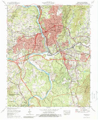
1961 Map of Asheville
USGS Topo · Published 1988About this map
The French Broad River carves a deep valley through the heart of this terrain, acting as a corridor for the Southern railroad and defining the industrial and residential development of Asheville in the early 1960s. To the south, the sprawling grounds of the Biltmore House and the planned community of Biltmore Forest stand in contrast to the dense urban grid surrounding the Court House City Hall. Educational and social institutions are prominent on this sheet, from Asheville-Biltmore College near Lookout Mtn to the Eliada Home for Children and Appalachian Hall Hospital. On the eastern ridges, the Blue Ridge Parkway skirts Beaucatcher Mountain, providing a boundary to suburban neighborhoods like Kenilworth and Beverly Hills. The map also captures the city's complex topography, where narrow gaps like White Fawn Gap and Randall Gap channel traffic through the mountain barriers.
Find a feature on this map
95 named features on this map. Tap any name to fly to it.
Don’t see what you’re looking for? This feature index may not catch every label — zoom into the map to look around manually.
Map Details
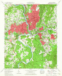
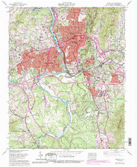
Editions of this 1961 Asheville Map
Other maps of this area

1894 · Asheville
USGS Topo · 1:125,000

1900 · Mount Mitchell
USGS Topo · 1:125,000

1901 · Asheville
USGS Topo · 1:125,000

1902 · Mount Mitchell
USGS Topo · 1:125,000

1905 · Pisgah
USGS Topo · 1:125,000

1906 · Pisgah
USGS Topo · 1:125,000

1907 · Saluda
USGS Topo · 1:125,000

1935 · Craggy Pinnacle
USGS Topo · 1:24,000

1936 · Enka
USGS Topo · 1:24,000

1936 · Weaverville
USGS Topo · 1:24,000