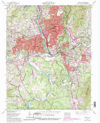
1961 Map of Asheville
USGS Topo · Published 1993About this map
The confluence of the French Broad River and the Swannanoa River anchors this 1961 portrait of the Buncombe County mountain region. The urban core of Asheville is depicted during a period of significant post-war expansion, with the purple tint indicating the widening reach of residential and commercial development. Industrial footprints remain prominent, notably near Sayles Village and along the Southern Railway corridors. Local history and genealogy are well-represented by long-standing landmarks such as the expansive Riverside Cem and several community hubs like the West Chapel Cem & Ch.
Find a feature on this map
103 named features on this map. Tap any name to fly to it.
Don’t see what you’re looking for? This feature index may not catch every label — zoom into the map to look around manually.
Map Details
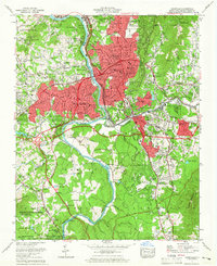
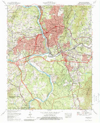
Editions of this 1961 Asheville Map
Other maps of this area

1894 · Asheville
USGS Topo · 1:125,000

1900 · Mount Mitchell
USGS Topo · 1:125,000

1901 · Asheville
USGS Topo · 1:125,000

1902 · Mount Mitchell
USGS Topo · 1:125,000

1905 · Pisgah
USGS Topo · 1:125,000

1906 · Pisgah
USGS Topo · 1:125,000

1907 · Saluda
USGS Topo · 1:125,000

1935 · Craggy Pinnacle
USGS Topo · 1:24,000

1936 · Enka
USGS Topo · 1:24,000

1936 · Weaverville
USGS Topo · 1:24,000