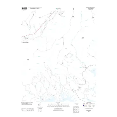
2013 Map of Ashford
USGS Topo · Published 2013About this map
Lake James dominates the southern reaches of this landscape, its complex northern shoreline reaching into the foothills where several watercourses, including Paddy Cr and Shooks Cr, drain from the higher elevations. The terrain is defined by prominent peaks like Shortoff Mountain, Dogback Mountain, and Pinnacle, which tower over the valleys of the Linville River and the N Fork Catawba River. In the northwest, the Honeycutt Tunnel marks a significant piece of engineering where the railway passes through the ridge near Ashford.
Find a feature on this map
50 named features on this map. Tap any name to fly to it.
Don’t see what you’re looking for? This feature index may not catch every label — zoom into the map to look around manually.
Map Details
Editions of this 2013 Ashford Map
This is the sole edition of this map. No revisions or reprints were ever made.
Other maps of this area

1900 · Mount Mitchell
USGS Topo · 1:125,000

1902 · Mount Mitchell
USGS Topo · 1:125,000

1905 · Morganton
USGS Topo · 1:125,000

1934 · Spruce Pine
USGS Topo · 1:24,000

1934 · Linville Falls
USGS Topo · 1:24,000

1953 · Charlotte
USGS Topo · 1:250,000

1954 · Charlotte
USGS Topo · 1:250,000

1955 · Knoxville
USGS Topo · 1:250,000

1956 · Oak Hill
USGS Topo · 1:24,000

1956 · Ashford
USGS Topo · 1:24,000