
1956 Map of Ashford
USGS Topo · Published 1958About this map
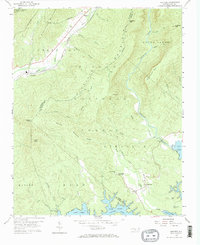
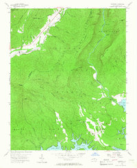
The Linville Gorge Wilderness Area and Pisgah National Forest dominate this mid-century landscape, where the rugged terrain of the Blue Ridge transitions toward the waters of Lake James. The Clinchfield railroad carves a path through the valley of the Catawba River, serving the small settlements of Ashford and North Cove. This map captures a complex network of mountain streams like Paddy Creek and Linville Creek that feed the expanding reservoir system. Local life is anchored by family-named sites and institutions such as the South Mtn Institute and Oak Grove Ch. The presence of the Kistler Memorial Highway and the Blue Ridge Parkway highlights the region's development as a gateway for mountain travel and forestry management during the 1950s.
Find a feature on this map
55 named features on this map. Tap any name to fly to it.
Don’t see what you’re looking for? This feature index may not catch every label — zoom into the map to look around manually.
Map Details
Editions of this 1956 Ashford Map
Other maps of this area

1900 · Mount Mitchell
USGS Topo · 1:125,000

1902 · Mount Mitchell
USGS Topo · 1:125,000

1905 · Morganton
USGS Topo · 1:125,000

1934 · Spruce Pine
USGS Topo · 1:24,000

1934 · Linville Falls
USGS Topo · 1:24,000

1953 · Charlotte
USGS Topo · 1:250,000

1954 · Charlotte
USGS Topo · 1:250,000

1955 · Knoxville
USGS Topo · 1:250,000

1956 · Oak Hill
USGS Topo · 1:24,000
1956 · Linville Falls
USGS Topo · 1:24,000