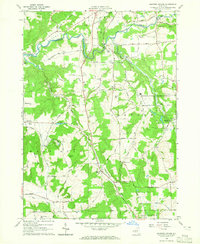
1964 Map of Ashford Hollow
USGS Topo · Published 1965About this map
Cattaraugus Creek carves a deep valley across the landscape, marking the boundary between Concord in Erie County and Ashford in Cattaraugus County. In the mid-1960s, this region was a complex mix of traditional dairy farming and emerging industrial infrastructure. The arrival of the Western New York Nuclear Service Center in the eastern hills contrasts with the older rural clusters like Ashford Hollow and Thomas Corners. Transport and power are central themes, seen in the Powerplant near Spooner Road and the rail infrastructure at Riceville Station and Edies Siding. Genealogists will find a wealth of local family history preserved in the smaller cemeteries, including Weber Cem and Schwartz Cem, alongside local landmarks like Trinity Ch and the small settlement of Brooklyn.
Find a feature on this map
46 named features on this map. Tap any name to fly to it.
Don’t see what you’re looking for? This feature index may not catch every label — zoom into the map to look around manually.
Map Details
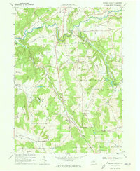
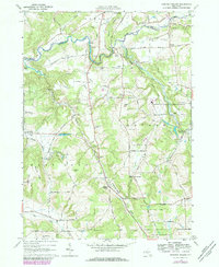
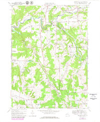
Editions of this 1964 Ashford Hollow Map
4 editions found
Other maps of this area

1905 · Eden
USGS Topo · 1:62,500

1907 · Eden
USGS Topo · 1:62,500

1923 · Cattaraugus
USGS Topo · 1:62,500

1924 · Ellicottville
USGS Topo · 1:62,500

1925 · Springville
USGS Topo · 1:62,500

1938 · Cattaraugus
USGS Topo · 1:62,500

1941 · Cattaraugus
USGS Topo · 1:62,500

1941 · Ellicottville
USGS Topo · 1:62,500

1944 · Eden
USGS Topo · 1:62,500

1944 · Langford
USGS Topo · 1:31,680