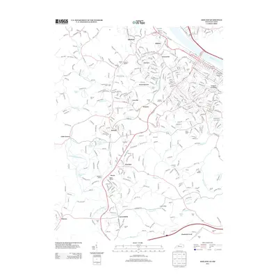
2013 Map of Ashland
USGS Topo · Published 2013About this map
Bellefonte Iron Furnace and Amanda Furnace stand as markers of the region's industrial heritage along the southern bank of the Ohio River. This 2013 survey reveals a landscape where heavy industry and residential growth coexist, anchored by Armco Steel in the north and extending through established neighborhoods like Westwood and Fairview. The map documents a complex network of transportation and topography, from the modern corridor of I-64 near Cannonsburg to the winding paths of Hood Cr and Shope Cr. For those tracing local history, several family-named landmarks and resting places are noted, including McKnight Cem, Dickerson Cem, and Rose Hill Burial Park. The transition from the riverfront developments to the southern hills at Laurel Ridge reflects the enduring geographic patterns of Boyd County's settlement.
Find a feature on this map
68 named features on this map. Tap any name to fly to it.
Don’t see what you’re looking for? This feature index may not catch every label — zoom into the map to look around manually.
Map Details
Editions of this 2013 Ashland Map
This is the sole edition of this map. No revisions or reprints were ever made.
Other maps of this area

1898 · Ironton
USGS Topo · 1:62,500

1900 · Ironton
USGS Topo · 1:62,500

1901 · Ceredo
USGS Topo · 1:62,500

1903 · Kenova
USGS Topo · 1:125,000

1904 · Kenova
USGS Topo · 1:125,000

1913 · Ceredo
USGS Topo · 1:62,500

1926 · Greenup
USGS Topo · 1:48,000

1930 · Greenup
USGS Topo · 1:62,500

1953 · Rush
USGS Topo · 1:24,000

1953 · Boltsfork
USGS Topo · 1:24,000