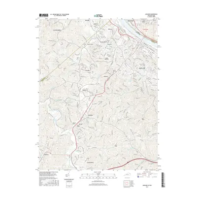
2016 Map of Ashland
USGS Topo · Published 2016About this map
The Ohio River corridor defines this landscape where Kentucky meets Ohio, anchoring the industrial and residential growth of Ashland and Ironton. This survey shows a mature infrastructure of rail lines and roadways weaving through the valleys of the Cumberland Plateau foothills. Along the CSX Transportation routes, smaller settlements like Princess and Cannonsburg occupy the southern reaches, while Flatwoods and Bellefonte dominate the northern heights above the river.
Find a feature on this map
275 named features on this map. Tap any name to fly to it.
Don’t see what you’re looking for? This feature index may not catch every label — zoom into the map to look around manually.
Map Details
Editions of this 2016 Ashland Map
This is the sole edition of this map. No revisions or reprints were ever made.
Other maps of this area

1898 · Ironton
USGS Topo · 1:62,500

1900 · Ironton
USGS Topo · 1:62,500

1901 · Ceredo
USGS Topo · 1:62,500

1903 · Kenova
USGS Topo · 1:125,000

1904 · Kenova
USGS Topo · 1:125,000

1913 · Ceredo
USGS Topo · 1:62,500

1926 · Greenup
USGS Topo · 1:48,000

1930 · Greenup
USGS Topo · 1:62,500

1953 · Rush
USGS Topo · 1:24,000

1953 · Boltsfork
USGS Topo · 1:24,000