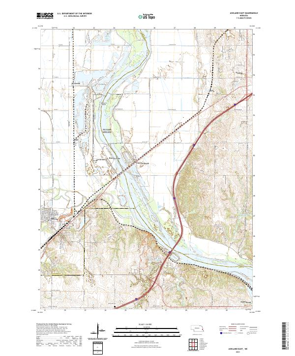
2021 Map of Ashland East
USGS Topo · Published 2021About this map
The Platte River meanders through the heart of this landscape, defining the boundaries where Saunders, Cass, and Sarpy counties meet. This modern survey captures a river-oriented environment where recreation and infrastructure intersect, notably at Linoma Beach and the various sand-pit lakes and reservoirs that dot the valley floor. The expansion of Gretna in the northeast and the established streets of Ashland in the southwest anchor the residential centers of the region, while smaller riverside settlements like Beacon View and Riverside remain nestled along the banks.
Find a feature on this map
51 named features on this map. Tap any name to fly to it.
Don’t see what you’re looking for? This feature index may not catch every label — zoom into the map to look around manually.
Map Details
Editions of this 2021 Ashland East Map
This is the sole edition of this map. No revisions or reprints were ever made.
Other maps of this area

1893 · Fremont
USGS Topo · 1:125,000

1896 · Fremont
USGS Topo · 1:125,000

1903 · Weeping Water
USGS Topo · 1:125,000

1929 · Weeping Water
USGS Topo · 1:125,000

1955 · Fremont
USGS Topo · 1:250,000

1955 · Lincoln
USGS Topo · 1:250,000

1956 · Gretna
USGS Topo · 1:24,000

1956 · Springfield
USGS Topo · 1:24,000

1957 · Fremont
USGS Topo · 1:250,000

1957 · Lincoln
USGS Topo · 1:250,000