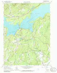
1964 Map of Ashokan
USGS Topo · Published 1986About this map
The Ashokan Reservoir dominates this mid-1960s landscape, serving as a massive hydraulic hub for the region. Managed engineering features like the Ashokan Res Aerator and two major spillways define the shoreline, while the Catskill Aqueduct snakes southward toward Marbletown. This era shows the transition of transportation in the Catskills, where the New York Central Railroad tracks run along the northern banks of the reservoir while an Old Railroad Grade remains visible nearby.
Find a feature on this map
52 named features on this map. Tap any name to fly to it.
Don’t see what you’re looking for? This feature index may not catch every label — zoom into the map to look around manually.
Map Details
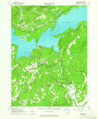
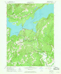
Editions of this 1964 Ashokan Map
3 editions found
Other maps of this area

1892 · Kaaterskill
USGS Topo · 1:62,500

1893 · Kaaterskill
USGS Topo · 1:62,500

1894 · Kaaterskill
USGS Topo · 1:62,500

1899 · Kaaterskill
USGS Topo · 1:62,500

1900 · Phoenicia
USGS Topo · 1:62,500

1901 · Rosendale
USGS Topo · 1:62,500

1903 · Rosendale
USGS Topo · 1:62,500

1903 · Phoenicia
USGS Topo · 1:62,500

1903 · Kaaterskill
USGS Topo · 1:62,500

1903 · Slide Mountain
USGS Topo · 1:62,500