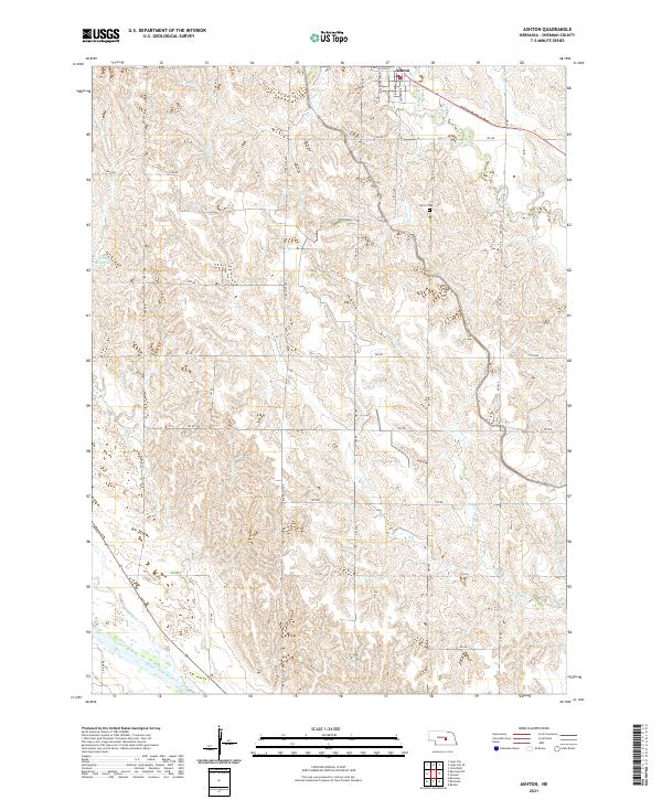
2021 Map of Ashton
USGS Topo · Published 2021About this map
Ashton anchors the northern boundary of this Sherman County landscape, where the residential grid meets the surrounding agricultural section lines. The village is organized around streets like Center Ave and W Carleton St, serving as a localized hub within a network of section-line roads such as Rockville Ave and 781 Rd. To the south, the terrain descends toward the Middle Loup River, which carves a wide valley floor through the township.
Find a feature on this map
35 named features on this map. Tap any name to fly to it.
Don’t see what you’re looking for? This feature index may not catch every label — zoom into the map to look around manually.
Map Details
Editions of this 2021 Ashton Map
This is the sole edition of this map. No revisions or reprints were ever made.
Other maps of this area

1899 · Loup
USGS Topo · 1:125,000

1953 · Cotesfield
USGS Topo · 1:24,000

1953 · Rockville
USGS Topo · 1:24,000

1953 · Boelus
USGS Topo · 1:24,000

1953 · Ravenna NW
USGS Topo · 1:24,000

1953 · Loup City SE
USGS Topo · 1:24,000

1953 · Loup City
USGS Topo · 1:24,000

1953 · Farwell
USGS Topo · 1:24,000

1953 · Ashton
USGS Topo · 1:24,000

1953 · Ravenna
USGS Topo · 1:24,000