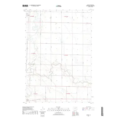
2017 Map of Ashton
USGS Topo · Published 2017About this map
The James River snakes through the heart of this Spink County landscape, forming a complex network of wetlands and oxbows between the settlements of Ashton and Redfield. This area of South Dakota is defined by its dramatic glacial hydrology, where Snake Cr and Turtle Creek converge with the river's main channel. The map illustrates a highly organized section-line road system, including Co Rd 14 and 171st St, which partitions the prairie into a grid of agricultural and conservation lands. In the southern reach, the outskirts of Redfield appear near the confluence of the river and Turtle Creek, showcasing the strategic placement of early Dakota settlements near reliable water sources and transport corridors. The distribution of numerous small seasonal ponds and wetlands across the eastern half of the survey highlights the natural prairie pothole environment that persists alongside modern rural development.
Find a feature on this map
21 named features on this map. Tap any name to fly to it.
Don’t see what you’re looking for? This feature index may not catch every label — zoom into the map to look around manually.
Map Details
Editions of this 2017 Ashton Map
This is the sole edition of this map. No revisions or reprints were ever made.
Other maps of this area

1895 · Byron
USGS Topo · 1:125,000

1895 · Aberdeen
USGS Topo · 1:125,000

1899 · Northville
USGS Topo · 1:125,000

1899 · Redfield
USGS Topo · 1:125,000

1953 · Frankfort
USGS Topo · 1:24,000

1953 · Redfield North
USGS Topo · 1:24,000

1953 · Gallup
USGS Topo · 1:24,000

1953 · Ashton
USGS Topo · 1:24,000

1953 · Huron
USGS Topo · 1:250,000

1954 · Aberdeen
USGS Topo · 1:250,000