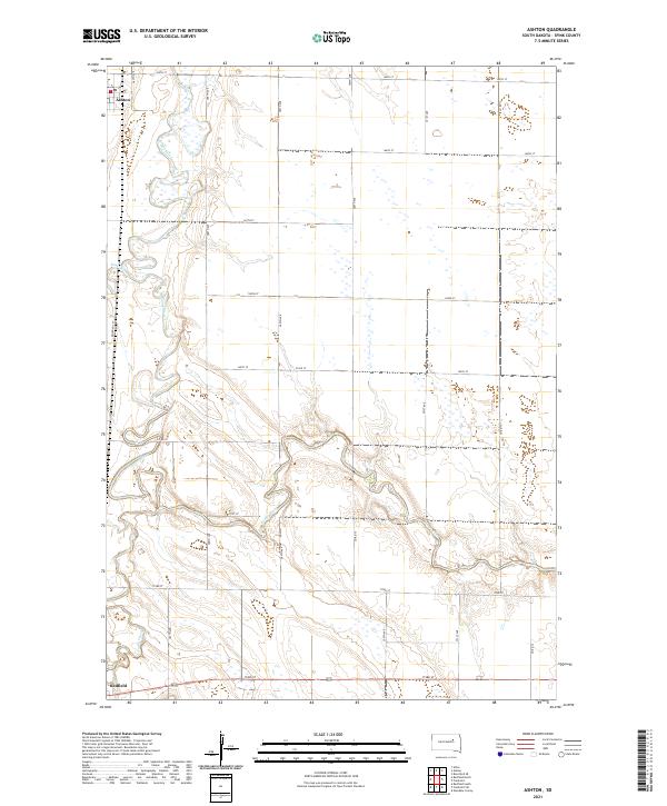
2021 Map of Ashton
USGS Topo · Published 2021About this map
The James River meanders dramatically across this Spink County landscape, creating a complex series of oxbows and tight bends as it flows southward. On the northern edge of the sheet, the settlement of Ashton is situated just west of the river, marked by its local Po. The terrain is characterized by the convergence of several waterways, with Snake Cr and the multi-branched Turtle Creek feeding into the main river valley. Near the southern border, the outskirts of Redfield begin to appear, connected to the surrounding townships by a strict grid of section line roads such as 173rd St and Co Rd 15. The presence of Railroad Ln running parallel to the western watercourses highlights the historical importance of rail transit in moving agricultural goods through the James River valley.
Find a feature on this map
23 named features on this map. Tap any name to fly to it.
Don’t see what you’re looking for? This feature index may not catch every label — zoom into the map to look around manually.
Map Details
Editions of this 2021 Ashton Map
This is the sole edition of this map. No revisions or reprints were ever made.
Other maps of this area

1895 · Byron
USGS Topo · 1:125,000

1895 · Aberdeen
USGS Topo · 1:125,000

1899 · Northville
USGS Topo · 1:125,000

1899 · Redfield
USGS Topo · 1:125,000

1953 · Frankfort
USGS Topo · 1:24,000

1953 · Redfield North
USGS Topo · 1:24,000

1953 · Gallup
USGS Topo · 1:24,000

1953 · Ashton
USGS Topo · 1:24,000

1953 · Huron
USGS Topo · 1:250,000

1954 · Aberdeen
USGS Topo · 1:250,000