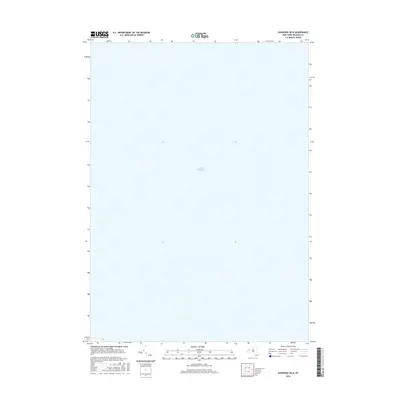
2016 Map of Ashwood OE N
USGS Topo · Published 2016About this map
Lake Ontario dominates the entirety of this topographic representation, capturing the expansive open waters along the northern border of Orleans County. This specific survey area is characterized by the vast aquatic expanse of the Great Lakes, where the map focuses on the offshore contours and navigation space. Because the landmass of Yates lies just to the south, this map serves as a detailed aquatic record, focusing on the depths and surface of one of the region's most significant natural features. It provides a unique look at the shoreline's edge and the open water as they were documented in the mid-2010s, reflecting the stable hydrography of the New York lakefront.
Find a feature on this map
1 named feature on this map. Tap any name to fly to it.
Don’t see what you’re looking for? This feature index may not catch every label — zoom into the map to look around manually.
Map Details
Editions of this 2016 Ashwood OE N Map
This is the sole edition of this map. No revisions or reprints were ever made.
Other maps of this area

1897 · Oak Orchard
USGS Topo · 1:62,500

1897 · Ridgeway
USGS Topo · 1:62,500

1944 · Ashwood
USGS Topo · 1:31,680

1949 · Kendall
USGS Topo · 1:62,500
1950 · Ridgeway
USGS Topo · 1:62,500
1950 · Ashwood
USGS Topo · 1:24,000
1951 · Kent
USGS Topo · 1:24,000
1951 · Lyndonville
USGS Topo · 1:24,000
1952 · Ashwood
USGS Topo · 1:24,000
1952 · Toronto
USGS Topo · 1:250,000