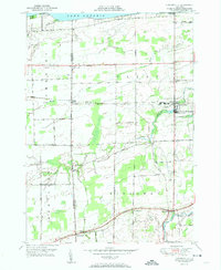
1951 Map of Lyndonville
USGS Topo · Published 1951About this map
Lake Ontario forms the northern boundary of this coastal agricultural region, where the shoreline is punctuated by Thirtymile Pt and its accompanying Lighthouse. The interior landscape is defined by a network of drainage creeks, including Johnson Creek and Oak Orchard Creek, which flow through a patchwork of marshlands and orchards toward the lake. The village of Lyndonville serves as a primary hub, situated along the New York Central rail line that traverses the center of the sheet.
Find a feature on this map
38 named features on this map. Tap any name to fly to it.
Don’t see what you’re looking for? This feature index may not catch every label — zoom into the map to look around manually.
Map Details
Editions of this 1951 Lyndonville Map
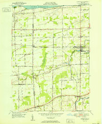
2 editions found
Other maps of this area

1897 · Olcott
USGS Topo · 1:62,500

1897 · Medina
USGS Topo · 1:62,500

1897 · Lockport
USGS Topo · 1:62,500

1897 · Ridgeway
USGS Topo · 1:62,500

1899 · Niagara
USGS Topo · 1:125,000

1902 · Lockport
USGS Topo · 1:62,500

1905 · Lockport
USGS Topo · 1:62,500

1944 · Ashwood
USGS Topo · 1:31,680

1948 · Lockport
USGS Topo · 1:62,500

1948 · Olcott
USGS Topo · 1:62,500