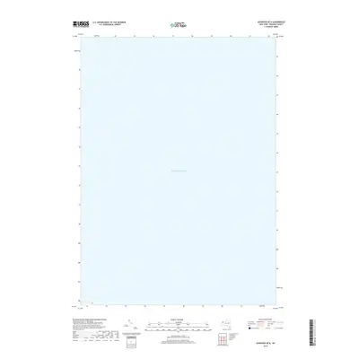
2019 Map of Ashwood OE N
USGS Topo · Published 2019About this map
Lake Ontario dominates this specific portion of the New York shoreline within Orleans County. Produced by the U.S. Geological Survey in 2019, this hydrographic and topographic study focuses almost exclusively on the open waters of the Great Lake. The map illustrates the bathymetric and maritime expanse just north of the Ashwood area, providing a precise spatial record of the lake's surface and the immediate nearshore environment as it appeared in the late 2010s. This survey is part of a larger mapping effort to document the international water boundaries and the coastal topography of the North American Great Lakes region.
Find a feature on this map
1 named feature on this map. Tap any name to fly to it.
Don’t see what you’re looking for? This feature index may not catch every label — zoom into the map to look around manually.
Map Details
Editions of this 2019 Ashwood OE N Map
This is the sole edition of this map. No revisions or reprints were ever made.
Other maps of this area

1897 · Oak Orchard
USGS Topo · 1:62,500

1897 · Ridgeway
USGS Topo · 1:62,500

1944 · Ashwood
USGS Topo · 1:31,680

1949 · Kendall
USGS Topo · 1:62,500
1950 · Ridgeway
USGS Topo · 1:62,500
1950 · Ashwood
USGS Topo · 1:24,000
1951 · Kent
USGS Topo · 1:24,000
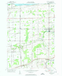
1951 · Lyndonville
USGS Topo · 1:24,000
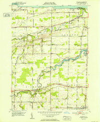
1952 · Ashwood
USGS Topo · 1:24,000
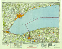
1952 · Toronto
USGS Topo · 1:250,000