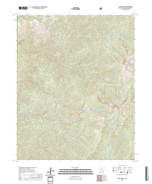
2023 Map of Aspen Basin
USGS Topo · Published 2023About this map
Santa Fe Baldy and the surrounding high peaks of the Sangre de Cristo Mountains dominate this high-altitude landscape northeast of Santa Fe. The map detail highlights a complex network of alpine hydrology, where headwaters like the Rio Nambe, Rio En Medio, and the Santa Fe River begin their descent from glacial basins. Natural landmarks such as Lake Katherine, Nambe Lake, and Santa Fe Lake are tucked into the steep topography between Lake Peak and Penitente Peak. This area, managed as the Pecos Wilderness within the Santa Fe National Forest, serves as a critical watershed. A dense system of trails, including the Winsor Trl and Sky Line Trl, provides access to Aspen Basin and remote canyons like Pacheco Canyon, illustrating the modern recreational footprint on these traditional lands.
Find a feature on this map
41 named features on this map. Tap any name to fly to it.
Don’t see what you’re looking for? This feature index may not catch every label — zoom into the map to look around manually.
Map Details
Editions of this 2023 Aspen Basin Map
This is the sole edition of this map. No revisions or reprints were ever made.
Other maps of this area

1889 · Santa Fe
USGS Topo · 1:125,000

1894 · Santa Fe
USGS Topo · 1:125,000

1952 · Santa Fe
USGS Topo · 1:24,000

1953 · Tesuque
USGS Topo · 1:24,000

1953 · Sierra Mosca
USGS Topo · 1:24,000
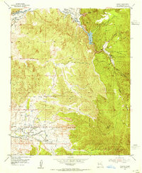
1953 · Cundiyo
USGS Topo · 1:24,000

1953 · Mc Clure Reservoir
USGS Topo · 1:24,000

1953 · Aspen Basin
USGS Topo · 1:24,000

1954 · Santa Fe
USGS Topo · 1:250,000

1958 · Santa Fe
USGS Topo · 1:250,000