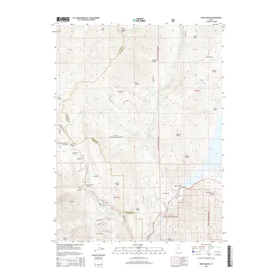
2014 Map of Aspen Grove
USGS Topo · Published 2014About this map
Uinta National Forest lands dominate this study of the High Wasatch terrain, where the mountain landscape transitions into the recreation-focused canyons of Utah and Wasatch Counties. The map documents a high-altitude network of campgrounds and public spaces, including Mount Timpanogos Campground, Lame Horse Campground, and the uniquely named Theater in the Pines. On the eastern edge, the waters of the Deer Cr Reservoir are visible near the foot of Soldier Hollow, illustrating the region's managed water resources.
Find a feature on this map
59 named features on this map. Tap any name to fly to it.
Don’t see what you’re looking for? This feature index may not catch every label — zoom into the map to look around manually.
Map Details
Editions of this 2014 Aspen Grove Map
This is the sole edition of this map. No revisions or reprints were ever made.
Other maps of this area

1885 · Salt Lake
USGS Topo · 1:250,000

1900 · Coalville
USGS Topo · 1:125,000

1903 · Coalville
USGS Topo · 1:125,000

1907 · Strawberry Valley
USGS Topo · 1:125,000

1909 · Strawberry Valley
USGS Topo · 1:125,000

1925 · Ft. Douglas
USGS Topo · 1:125,000

1928 · Ft. Douglas
USGS Topo · 1:125,000

1948 · Timpanogos Cave
USGS Topo · 1:24,000

1948 · Orem
USGS Topo · 1:24,000

1948 · Orem
USGS Topo · 1:62,500