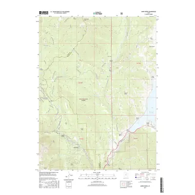
2017 Map of Aspen Grove
USGS Topo · Published 2017About this map
Mount Timpanogos anchors this high-elevation landscape within the Uinta National Forest, where the transition from alpine peaks to valley floor is defined by steep drainages and glacial features. Near the mountain's base, the settlement of Aspen Grove and the resort community of Sundance serve as the primary access points for the region's recreation and forest management. The geography is carved by the N Fork Provo River and numerous springs like Cascade Springs, while the southeastern corner is dominated by the waters of the Deer Creek Reservoir. Historical travel patterns are evident in the winding Alpine Loop and forest routes such as Lame Horse and Old Trench Road, reflecting the area's long-standing use for both resource extraction and mountain tourism. Notable landmarks such as Big Provo Cirque and Stewart Cascades highlight the dramatic relief of the Wasatch Range.
Find a feature on this map
68 named features on this map. Tap any name to fly to it.
Don’t see what you’re looking for? This feature index may not catch every label — zoom into the map to look around manually.
Map Details
Editions of this 2017 Aspen Grove Map
This is the sole edition of this map. No revisions or reprints were ever made.
Other maps of this area

1885 · Salt Lake
USGS Topo · 1:250,000

1900 · Coalville
USGS Topo · 1:125,000

1903 · Coalville
USGS Topo · 1:125,000

1907 · Strawberry Valley
USGS Topo · 1:125,000

1909 · Strawberry Valley
USGS Topo · 1:125,000

1925 · Ft. Douglas
USGS Topo · 1:125,000

1928 · Ft. Douglas
USGS Topo · 1:125,000

1948 · Timpanogos Cave
USGS Topo · 1:24,000

1948 · Orem
USGS Topo · 1:24,000

1948 · Orem
USGS Topo · 1:62,500