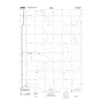
2012 Map of Assaria
USGS Topo · Published 2012About this map
The Smoky Hill River winds through this Central Kansas landscape, carving a serpentine path through the agricultural heart of Saline County. The town of Assaria sits as a primary hub of settlement, characterized by a traditional grid of streets including W Main St and E 1st St. To the south, Bridgeport and the nearby Bridgeport Cem offer key points for genealogical research and local history, marking the southern edge of this survey near the banks of the river. The transition between rural and semi-urban space is visible in features like the Assaria Wastewater Facility and the Lakeside Recreational Park. Several smaller watercourses, such as Dry Cr, Pewee Cr, and the W Br Gypsum Cr, feed into the main river valley, defining the drainage patterns that have shaped local farming and settlement for generations.
Find a feature on this map
49 named features on this map. Tap any name to fly to it.
Don’t see what you’re looking for? This feature index may not catch every label — zoom into the map to look around manually.
Map Details
Editions of this 2012 Assaria Map
This is the sole edition of this map. No revisions or reprints were ever made.
Other maps of this area

1889 · Abilene
USGS Topo · 1:125,000

1892 · Salina
USGS Topo · 1:125,000

1894 · Abilene
USGS Topo · 1:125,000

1942 · Salina
USGS Topo · 1:125,000

1955 · Salina
USGS Topo · 1:24,000

1955 · Assaria
USGS Topo · 1:24,000

1955 · Salina SW
USGS Topo · 1:24,000

1955 · Smolan
USGS Topo · 1:24,000

1955 · Kipp
USGS Topo · 1:24,000

1955 · Gypsum
USGS Topo · 1:24,000