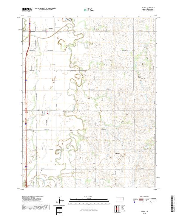
2022 Map of Assaria
USGS Topo · Published 2022About this map
The Smoky Hill River meanders through the heart of this Saline County landscape, defining the agricultural character of the region. Small rural hubs such as Assaria and Bridgeport are connected by a grid of farm-to-market roads, while the Salemsborg Lutheran Cem south of Assaria Rd provides a focal point for genealogical research. The map illustrates the drainage patterns of the Central Plains, where Dry Cr, Spring Cr, and Pawnee Cr feed the larger river system. To the north, the small community of Mentor sits near the upper margin, while Hallville appears to the southeast, marking the slow evolution of these Kansas townships over decades of land use. The presence of the Po in the center of Assaria highlights its continued role as a local service point for the surrounding farmsteads.
Find a feature on this map
41 named features on this map. Tap any name to fly to it.
Don’t see what you’re looking for? This feature index may not catch every label — zoom into the map to look around manually.
Map Details
Editions of this 2022 Assaria Map
This is the sole edition of this map. No revisions or reprints were ever made.
Other maps of this area

1889 · Abilene
USGS Topo · 1:125,000

1892 · Salina
USGS Topo · 1:125,000

1894 · Abilene
USGS Topo · 1:125,000

1942 · Salina
USGS Topo · 1:125,000

1955 · Salina
USGS Topo · 1:24,000

1955 · Assaria
USGS Topo · 1:24,000

1955 · Salina SW
USGS Topo · 1:24,000

1955 · Smolan
USGS Topo · 1:24,000

1955 · Kipp
USGS Topo · 1:24,000

1955 · Gypsum
USGS Topo · 1:24,000