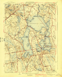
1941 Map of Assawompset Pond
USGS Topo · Published 1941About this map
Assawompset Pond and its interconnected chain of lakes dominate this portion of Plymouth and Bristol Counties, serving as a critical hydrologic hub for nearby industrial centers. The map highlights the strategic importance of the water supply through the Taunton Waterworks on the western shore and the New Bedford Waterworks at Little Quittacas Pond. The landscape is a mosaic of family-named heights like Pickens Hill and LeBaron Hill, interspersed with specialized agriculture such as the Bettys Neck Cranberry Bog and Washburn Bogs. Settlement patterns follow the New York New Haven and Hartford RR, which anchors the village of East Freetown. Smaller hamlets like Sampsons Corner and Canedys Corner appear alongside numerous rural burial grounds, including Pond Cem and the Haskins Cem, documenting the area's genealogical history prior to mid-century development.
Find a feature on this map
101 named features on this map. Tap any name to fly to it.
Don’t see what you’re looking for? This feature index may not catch every label — zoom into the map to look around manually.
Map Details
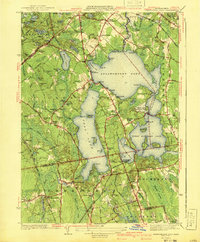
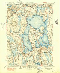
Editions of this 1941 Assawompset Pond Map
3 editions found
Other maps of this area

1885 · New Bedford
USGS Topo · 1:62,500

1885 · Middleboro
USGS Topo · 1:62,500

1885 · Taunton
USGS Topo · 1:62,500

1888 · New Bedford
USGS Topo · 1:62,500

1888 · Fall River
USGS Topo · 1:62,500

1888 · Taunton
USGS Topo · 1:62,500

1888 · Middleboro
USGS Topo · 1:62,500

1893 · Taunton
USGS Topo · 1:62,500

1893 · Middleboro
USGS Topo · 1:62,500

1893 · Fall River
USGS Topo · 1:62,500