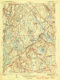
1943 Map of Assonet
USGS Topo · Published 1943About this map
The Taunton River and its major tributaries, the Assonet River and Three Mile River, anchor this 1942 landscape during a period of transition for Bristol County. Industrial and agricultural life is evident in the cluster of structures at North Dighton and the specialized County Agriculture School near Segreganset. The New York New Haven and Hartford railroad cuts through the terrain, serving established stops like North Dighton Sta and Myricks.
Find a feature on this map
92 named features on this map. Tap any name to fly to it.
Don’t see what you’re looking for? This feature index may not catch every label — zoom into the map to look around manually.
Map Details
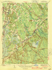
Editions of this 1943 Assonet Map
2 editions found
Other maps of this area

1885 · New Bedford
USGS Topo · 1:62,500

1885 · Middleboro
USGS Topo · 1:62,500

1885 · Taunton
USGS Topo · 1:62,500

1888 · New Bedford
USGS Topo · 1:62,500

1888 · Fall River
USGS Topo · 1:62,500

1888 · Taunton
USGS Topo · 1:62,500

1888 · Middleboro
USGS Topo · 1:62,500

1893 · Taunton
USGS Topo · 1:62,500

1893 · Middleboro
USGS Topo · 1:62,500

1893 · Fall River
USGS Topo · 1:62,500