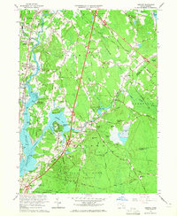
1963 Map of Assonet
USGS Topo · Published 1965About this map
The Taunton River and its tributary, the Assonet River, define this Bristol County landscape in the early 1960s as a complex network of wetlands and wooded uplands. In the west, the riverbanks around Dighton and Segreganset are marked by institutional and recreational development, including the County Agricultural High Sch and Dighton Rock State Park. To the east, the vast interior is dominated by the Freetown Fall River State Forest, containing landmarks like Profile Rock and Whippoorwill Mtn.
Find a feature on this map
83 named features on this map. Tap any name to fly to it.
Don’t see what you’re looking for? This feature index may not catch every label — zoom into the map to look around manually.
Map Details
Editions of this 1963 Assonet Map
2 editions found
Other maps of this area

1885 · New Bedford
USGS Topo · 1:62,500

1885 · Middleboro
USGS Topo · 1:62,500

1885 · Taunton
USGS Topo · 1:62,500

1888 · New Bedford
USGS Topo · 1:62,500

1888 · Fall River
USGS Topo · 1:62,500

1888 · Taunton
USGS Topo · 1:62,500

1888 · Middleboro
USGS Topo · 1:62,500

1893 · Taunton
USGS Topo · 1:62,500

1893 · Middleboro
USGS Topo · 1:62,500

1893 · Fall River
USGS Topo · 1:62,500