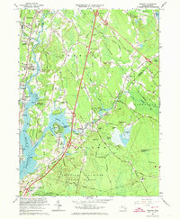
1963 Map of Assonet
USGS Topo · Published 1973About this map
The Taunton River and its major tributary, the Assonet River, anchor this 1963 coastal survey, revealing a landscape defined by tidal inlets and early Massachusetts industrial hubs. In Assonet, the settlement patterns concentrate near Assonet Bay Shores, while the interior remains dominated by the sprawling Freetown Fall River State Forest and the Watuppa Reservation. Significant historical sites are documented along the water, including the famous Dighton Rock State Park and the Assonet Burying Ground. Transportation networks are in a state of modernization, with the newly established Interchange 35 on the state highway system cutting through the hills near Bryant Hill. The presence of the New York New Haven and Hartford Railroad alongside numerous gravel pits and cranberry bogs illustrates a mid-century economy still tied to the land and the rails.
Find a feature on this map
78 named features on this map. Tap any name to fly to it.
Don’t see what you’re looking for? This feature index may not catch every label — zoom into the map to look around manually.
Map Details
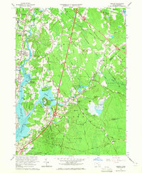
Editions of this 1963 Assonet Map
2 editions found
Other maps of this area

1885 · New Bedford
USGS Topo · 1:62,500

1885 · Middleboro
USGS Topo · 1:62,500

1885 · Taunton
USGS Topo · 1:62,500

1888 · New Bedford
USGS Topo · 1:62,500

1888 · Fall River
USGS Topo · 1:62,500

1888 · Taunton
USGS Topo · 1:62,500

1888 · Middleboro
USGS Topo · 1:62,500

1893 · Taunton
USGS Topo · 1:62,500

1893 · Middleboro
USGS Topo · 1:62,500

1893 · Fall River
USGS Topo · 1:62,500