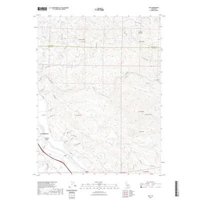
2021 Map of Asti
USGS Topo · Published 2021About this map
Cloverdale serves as the focal point for this northern Sonoma County landscape, situated where the Russian River flows south toward the Alexander Valley. The terrain rises sharply to the east into the Mayacmas Mountains, a complex series of ridges and deep drainages including Devils Den Canyon and the winding course of Big Sulphur Cr. The small community of Asti lies further south along the river, surrounded by hills marked with family-named roads like Crockett Rd and Bettini Rd, reflecting the region's agricultural and viticultural history.
Find a feature on this map
61 named features on this map. Tap any name to fly to it.
Don’t see what you’re looking for? This feature index may not catch every label — zoom into the map to look around manually.
Map Details
Editions of this 2021 Asti Map
This is the sole edition of this map. No revisions or reprints were ever made.
Other maps of this area

1920 · Healdsburg
USGS Topo · 1:62,500

1921 · Skaggs
USGS Topo · 1:62,500

1921 · Kelseyville
USGS Topo · 1:62,500

1933 · Healdsburg
USGS Topo · 1:48,000

1938 · Hopland
USGS Topo · 1:62,500

1940 · Healdsburg
USGS Topo · 1:62,500

1943 · Skaggs Springs
USGS Topo · 1:24,000

1943 · Kelseyville
USGS Topo · 1:62,500

1943 · Hopland
USGS Topo · 1:62,500

1944 · Skaggs Springs
USGS Topo · 1:31,680