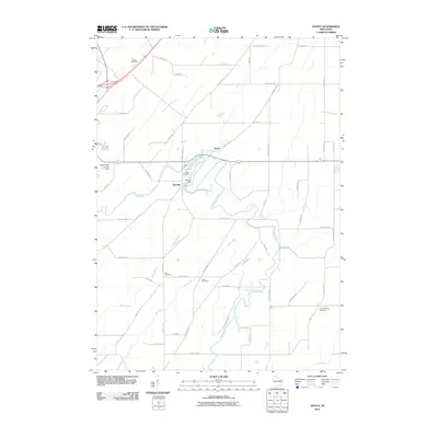
2010 Map of Astico
USGS Topo · Published 2010About this map
The Crawfish River winds through this rural Dodge County landscape, anchoring the small settlements of Danville and Astico. This 2010 topographic survey illustrates a deeply rooted agricultural community defined by its network of rural roads and watercourses. Local history is preserved in several family and congregational burial sites scattered across the terrain, including the Bethel Cemetery, Elba Cemetery, and The Reformed Cemetery. The Danville Dam remains a significant local landmark on the river, situated just south of the Altschwader Landing Strip. Further south, the convergence of Nolan Creek and Mud Creek with the main river channel creates a complex drainage pattern that has long influenced the placement of farmsteads and transport routes like County Hwy TT and County Hwy BB. The rise of Ghost Hill provides a distinct topographic break in an otherwise gently undulating river valley.
Find a feature on this map
56 named features on this map. Tap any name to fly to it.
Don’t see what you’re looking for? This feature index may not catch every label — zoom into the map to look around manually.
Map Details
Editions of this 2010 Astico Map
This is the sole edition of this map. No revisions or reprints were ever made.
Other maps of this area

1890 · Sun Prairie
USGS Topo · 1:62,500

1891 · Waterloo
USGS Topo · 1:62,500

1894 · Waterloo
USGS Topo · 1:62,500

1896 · Sun Prairie
USGS Topo · 1:62,500

1905 · Sun Prairie
USGS Topo · 1:62,500

1907 · Sun Prairie
USGS Topo · 1:62,500

1910 · Waterloo
USGS Topo · 1:62,500

1955 · Columbus
USGS Topo · 1:62,500

1955 · Beaver Dam
USGS Topo · 1:62,500

1957 · Madison
USGS Topo · 1:250,000