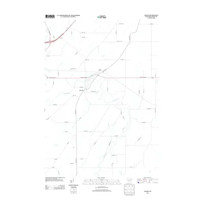
2013 Map of Astico
USGS Topo · Published 2013About this map
Astico and Danville serve as the primary focal points in this Dodge County landscape, situated where the Crawfish River meanders through agricultural lands. The river dominates the central terrain, joined by several tributaries including Mud Cr and Nolan Cr. This 2013 topographic survey illustrates a transportation network defined by the intersection of major thoroughfares like State Road 16 and 60 and Us-151, alongside local routes such as County Hwy-T. Genealogists and local historians may find interest in the numerous family-named roads, such as Stadler Rd and Ninabuck Rd, which reflect the long-standing land ownership patterns of the region. The map also features the curiously named Ghost Hill Rd in the northeastern section, suggesting local lore or distinctive geography north of the river.
Find a feature on this map
54 named features on this map. Tap any name to fly to it.
Don’t see what you’re looking for? This feature index may not catch every label — zoom into the map to look around manually.
Map Details
Editions of this 2013 Astico Map
This is the sole edition of this map. No revisions or reprints were ever made.
Other maps of this area

1890 · Sun Prairie
USGS Topo · 1:62,500

1891 · Waterloo
USGS Topo · 1:62,500

1894 · Waterloo
USGS Topo · 1:62,500

1896 · Sun Prairie
USGS Topo · 1:62,500

1905 · Sun Prairie
USGS Topo · 1:62,500

1907 · Sun Prairie
USGS Topo · 1:62,500

1910 · Waterloo
USGS Topo · 1:62,500

1955 · Columbus
USGS Topo · 1:62,500

1955 · Beaver Dam
USGS Topo · 1:62,500

1957 · Madison
USGS Topo · 1:250,000