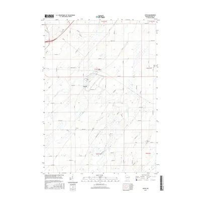
2015 Map of Astico
USGS Topo · Published 2015About this map
Danville and Astico are the primary hubs of activity in this agricultural landscape of Dodge County, Wisconsin. The Crawfish River winds through the center of the sheet, providing the water source for the Danville Millpond, a central feature of the local economy and geography. The surrounding countryside is defined by a dense network of country roads, such as Ghost Hill RD and Ninabuck RD, which connect scattered family farms to vital community landmarks. Genealogists will find a wealth of local history in the numerous burial grounds documented here, including Bethel Cem in the north and the uniquely named The Reformed Cem to the southeast. Smaller waterways like Calamus Cr and Nolan Cr drain into the river system, carving the low-lying wetlands and fields that characterize this portion of the Wisconsin interior.
Find a feature on this map
75 named features on this map. Tap any name to fly to it.
Don’t see what you’re looking for? This feature index may not catch every label — zoom into the map to look around manually.
Map Details
Editions of this 2015 Astico Map
This is the sole edition of this map. No revisions or reprints were ever made.
Other maps of this area

1890 · Sun Prairie
USGS Topo · 1:62,500

1891 · Waterloo
USGS Topo · 1:62,500

1894 · Waterloo
USGS Topo · 1:62,500

1896 · Sun Prairie
USGS Topo · 1:62,500

1905 · Sun Prairie
USGS Topo · 1:62,500

1907 · Sun Prairie
USGS Topo · 1:62,500

1910 · Waterloo
USGS Topo · 1:62,500

1955 · Columbus
USGS Topo · 1:62,500

1955 · Beaver Dam
USGS Topo · 1:62,500

1957 · Madison
USGS Topo · 1:250,000