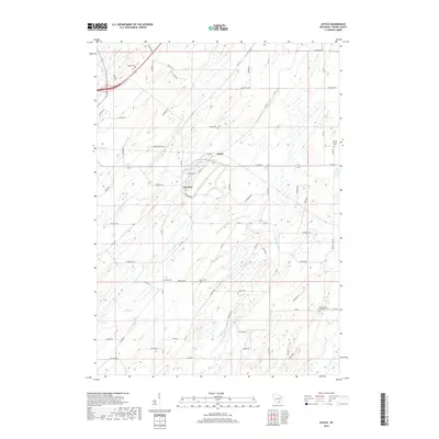
2018 Map of Astico
USGS Topo · Published 2018About this map
Astico and the surrounding farmland of Calamus and Elba townships define this 2018 survey of Dodge County. The landscape is characterized by the meandering path of the Crawfish River, which is joined by several smaller tributaries including Calamus Cr and Nolan Cr. The settlement of Danville sits south of the river bend, while the small community of Astico is positioned near the junction of several local routes. For local historians and genealogists, the map is remarkably dense with burial sites that trace the area's rural heritage, including Bethel Cem in the north, Okeeg Cem near the river, and Grove Prairie Cem along the eastern edge. The topography is largely gentle, punctuated by landmarks such as Ghost Hill Rd and family-named roads that reflect generations of agricultural development in this part of Wisconsin.
Find a feature on this map
70 named features on this map. Tap any name to fly to it.
Don’t see what you’re looking for? This feature index may not catch every label — zoom into the map to look around manually.
Map Details
Editions of this 2018 Astico Map
This is the sole edition of this map. No revisions or reprints were ever made.
Other maps of this area

1890 · Sun Prairie
USGS Topo · 1:62,500

1891 · Waterloo
USGS Topo · 1:62,500

1894 · Waterloo
USGS Topo · 1:62,500

1896 · Sun Prairie
USGS Topo · 1:62,500

1905 · Sun Prairie
USGS Topo · 1:62,500

1907 · Sun Prairie
USGS Topo · 1:62,500

1910 · Waterloo
USGS Topo · 1:62,500

1955 · Columbus
USGS Topo · 1:62,500

1955 · Beaver Dam
USGS Topo · 1:62,500

1957 · Madison
USGS Topo · 1:250,000