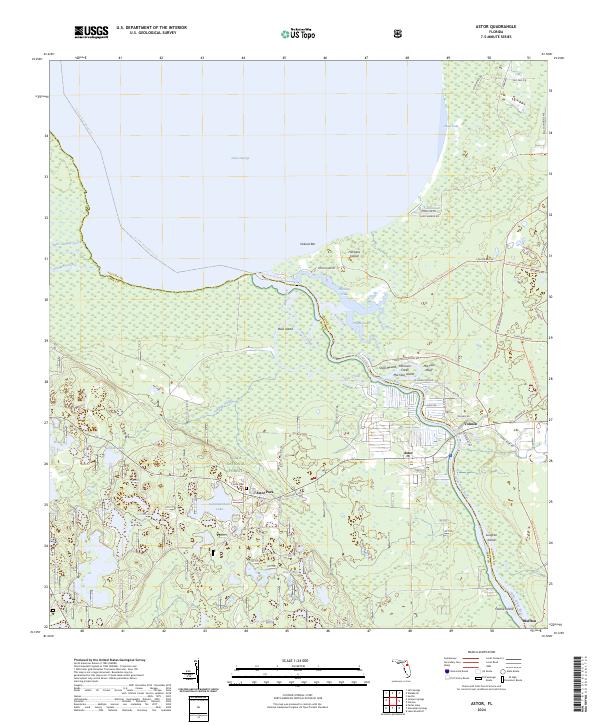
2024 Map of Astor
USGS Topo · Published 2024About this map
Lake George dominates the northern reaches of this map, where the Saint Johns River flows south through a complex network of wetlands and riverine islands. The settlement of Astor serves as a focal point along the riverbank, balanced by Astor Park further inland near the edge of the Ocala National Forest. This river corridor defines the local geography, featuring landmarks like Shell Mound and Morrison Bluff, which suggest long-standing human interaction with this aquatic environment.
Find a feature on this map
61 named features on this map. Tap any name to fly to it.
Don’t see what you’re looking for? This feature index may not catch every label — zoom into the map to look around manually.
Map Details
Editions of this 2024 Astor Map
This is the sole edition of this map. No revisions or reprints were ever made.
Other maps of this area

1954 · Daytona Beach
USGS Topo · 1:250,000

1958 · Daytona Beach
USGS Topo · 1:250,000

1962 · Lake Woodruff
USGS Topo · 1:24,000

1964 · Daytona Beach
USGS Topo · 1:250,000

1970 · Welaka SE
USGS Topo · 1:24,000

1970 · Seville
USGS Topo · 1:24,000

1970 · Salt Springs
USGS Topo · 1:24,000

1970 · Pierson
USGS Topo · 1:24,000

1972 · Juniper Springs
USGS Topo · 1:24,000
1972 · Farles Lake
USGS Topo · 1:24,000