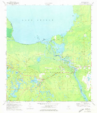
1972 Map of Astor
USGS Topo · Published 1973About this map
The St Johns River serves as the central artery for this region of Central Florida, winding north from Astor and Volusia toward the wide expanse of Lake George. This 1970s landscape is defined by the dense wetlands and pine flatwoods of the Ocala National Forest, which covers much of the western half of the map. Evidence of earlier transportation networks appears in the Old Railroad Grade running through Astor Park, reflecting a time when rail was as vital as the river for commerce.
Find a feature on this map
42 named features on this map. Tap any name to fly to it.
Don’t see what you’re looking for? This feature index may not catch every label — zoom into the map to look around manually.
Map Details
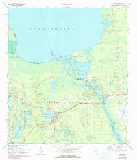
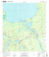
Editions of this 1972 Astor Map
3 editions found
Other maps of this area

1954 · Daytona Beach
USGS Topo · 1:250,000

1958 · Daytona Beach
USGS Topo · 1:250,000

1962 · Lake Woodruff
USGS Topo · 1:24,000

1964 · Daytona Beach
USGS Topo · 1:250,000

1970 · Welaka SE
USGS Topo · 1:24,000

1970 · Seville
USGS Topo · 1:24,000

1970 · Salt Springs
USGS Topo · 1:24,000

1970 · Pierson
USGS Topo · 1:24,000

1972 · Juniper Springs
USGS Topo · 1:24,000
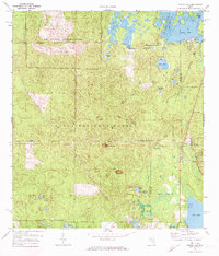
1972 · Farles Lake
USGS Topo · 1:24,000