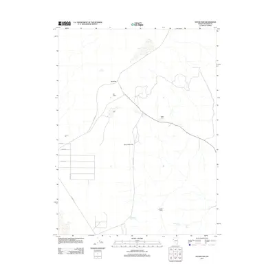
2011 Map of Astor Pass
USGS Topo · Published 2011About this map
Junction City and the small settlement of Astor sit at the center of this 2011 survey in Washoe County, where the desert landscape is defined by its vital water sources and remote road network. Essential springs like Mocho Spring Number Two, Upper Adobe Spring, and Lower Adobe Spring are documented near the southern edge of the sheet, providing life-sustaining points in an otherwise arid basin. The topography is marked by distinctive features such as the Never Sweat Hills and Juniper Basin, while the low-lying Dry Valley is framed by Astor Pass and Sand Pass. A sparse network of local routes, including Fish Springs Rd and Flanigan Rd, connects these isolated locations, reflecting the persistent rural character of this High Rock region long into the twenty-first century.
Find a feature on this map
19 named features on this map. Tap any name to fly to it.
Don’t see what you’re looking for? This feature index may not catch every label — zoom into the map to look around manually.
Map Details
Editions of this 2011 Astor Pass Map
This is the sole edition of this map. No revisions or reprints were ever made.
Other maps of this area

1886 · Granite Range
USGS Topo · 1:250,000

1894 · Granite Range
USGS Topo · 1:250,000

1955 · Lovelock
USGS Topo · 1:250,000

1959 · Lovelock
USGS Topo · 1:250,000

1964 · The Needle Rocks
USGS Topo · 1:24,000
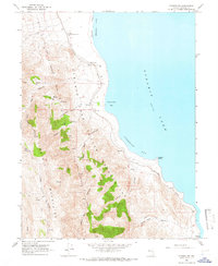
1964 · Pyramid SW
USGS Topo · 1:24,000
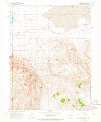
1964 · State Line Peak
USGS Topo · 1:24,000
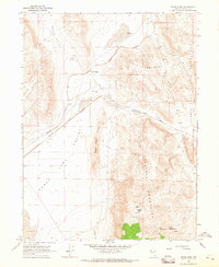
1964 · Astor Pass
USGS Topo · 1:24,000
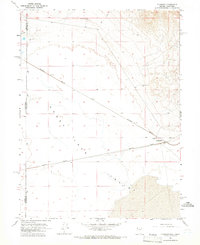
1964 · Flanigan
USGS Topo · 1:24,000
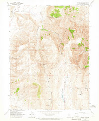
1964 · Spanish Flat
USGS Topo · 1:24,000