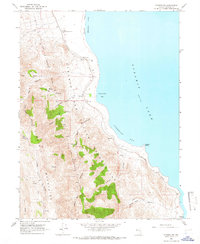
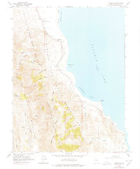
1964 Map of Pyramid SW
USGS Topo · Published 1966About this map
Pyramid Lake dominates this western Nevada landscape, its eastern shoreline defined by Ninemile Bay and the distinctive Warrior Point. Published in the mid-1960s, the map highlights the intersection of natural topography and early infrastructure within the Pyramid Lake Indian Reservation. The Southern Pacific railroad tracks trace the narrow corridor between the water and the rising terrain of the Virginia Mountains.
Find a feature on this map
58 named features on this map. Tap any name to fly to it.
Don’t see what you’re looking for? This feature index may not catch every label — zoom into the map to look around manually.
Map Details
Editions of this 1964 Pyramid SW Map
2 editions found
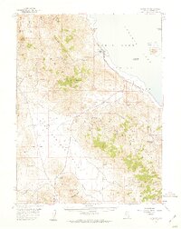
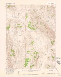
Other maps of this area

1886 · Granite Range
USGS Topo · 1:250,000

1891 · Reno
USGS Topo · 1:125,000

1893 · Reno
USGS Topo · 1:125,000

1894 · Granite Range
USGS Topo · 1:250,000

1955 · Lovelock
USGS Topo · 1:250,000
1957 · Sutcliffe
USGS Topo · 1:62,500
1957 · Dogskin Mountain
USGS Topo · 1:62,500

1957 · Reno
USGS Topo · 1:250,000

1959 · Lovelock
USGS Topo · 1:250,000

1959 · Reno
USGS Topo · 1:250,000