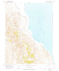
1964 Map of Pyramid SW
USGS Topo · Published 1978About this map
The Pyramid Lake Indian Reservation dominates the western shoreline of Pyramid Lake in this mid-1960s survey. The landscape is defined by the sharp vertical transition from the Virginia Mountains down to the water's edge at an elevation of 3,792 feet. Along the coast, distinctive landmarks like Warrior Point and George Washington Rock serve as navigational markers between the sheltered waters of Wizards Cove and Ninemile Bay.
Find a feature on this map
27 named features on this map. Tap any name to fly to it.
Don’t see what you’re looking for? This feature index may not catch every label — zoom into the map to look around manually.
Map Details
Editions of this 1964 Pyramid SW Map
2 editions found
Other maps of this area

1886 · Granite Range
USGS Topo · 1:250,000

1891 · Reno
USGS Topo · 1:125,000

1893 · Reno
USGS Topo · 1:125,000

1894 · Granite Range
USGS Topo · 1:250,000

1955 · Lovelock
USGS Topo · 1:250,000

1957 · Sutcliffe
USGS Topo · 1:62,500

1957 · Dogskin Mountain
USGS Topo · 1:62,500

1957 · Reno
USGS Topo · 1:250,000

1959 · Lovelock
USGS Topo · 1:250,000

1959 · Reno
USGS Topo · 1:250,000