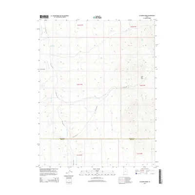
2014 Map of Atchison Creek
USGS Topo · Published 2014About this map
The Indian Peak Range dominates the eastern landscape of this high-desert region, where the drainage systems of Atchison Cr and Hamlin Valley Wash define the local topography. This 2014 survey captures a sparsely settled area along the border of Beaver and Iron Counties, characterized by essential water sources like Salt Cabin Spring and its associated Salt Cabin Spring Wash. Transportation through this arid terrain relies on the established Hamlin Valley Rd and Atchison Creek Rd, which follow the natural contours and watercourses. The map provides a clear look at the Public Land Survey System grid, including Townships such as t30s r19w, showing how the territory is segmented for land management and resource identification.
Find a feature on this map
15 named features on this map. Tap any name to fly to it.
Don’t see what you’re looking for? This feature index may not catch every label — zoom into the map to look around manually.
Map Details
Editions of this 2014 Atchison Creek Map
This is the sole edition of this map. No revisions or reprints were ever made.
Other maps of this area

1953 · Richfield
USGS Topo · 1:250,000

1956 · Lund
USGS Topo · 1:250,000

1958 · Richfield
USGS Topo · 1:250,000

1960 · Lund
USGS Topo · 1:250,000

1971 · Pinto Spring
USGS Topo · 1:24,000

1971 · Steamboat Mtn SW
USGS Topo · 1:24,000

1971 · Atchison Creek
USGS Topo · 1:24,000

1971 · Steamboat Mtn
USGS Topo · 1:24,000

1972 · Gleason Basin
USGS Topo · 1:24,000

1972 · White Rock Peak
USGS Topo · 1:24,000