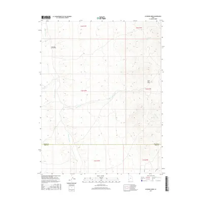
2017 Map of Atchison Creek
USGS Topo · Published 2017About this map
The Indian Peak Range dominates the eastern horizon of this high-desert landscape on the border of Beaver and Iron Counties. Flowing from these heights, the ephemeral waters of Atchison Creek cut westward across the valley floor. The map document reveals a rugged drainage network defined by the Hamlin Valley Wash and its various tributaries, including the curiously named Salt Cabin Spring Wash.
Find a feature on this map
13 named features on this map. Tap any name to fly to it.
Don’t see what you’re looking for? This feature index may not catch every label — zoom into the map to look around manually.
Map Details
Editions of this 2017 Atchison Creek Map
This is the sole edition of this map. No revisions or reprints were ever made.
Other maps of this area

1953 · Richfield
USGS Topo · 1:250,000

1956 · Lund
USGS Topo · 1:250,000

1958 · Richfield
USGS Topo · 1:250,000

1960 · Lund
USGS Topo · 1:250,000

1971 · Pinto Spring
USGS Topo · 1:24,000

1971 · Steamboat Mtn SW
USGS Topo · 1:24,000

1971 · Atchison Creek
USGS Topo · 1:24,000

1971 · Steamboat Mtn
USGS Topo · 1:24,000

1972 · Gleason Basin
USGS Topo · 1:24,000

1972 · White Rock Peak
USGS Topo · 1:24,000