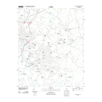
2011 Map of Athens East
USGS Topo · Published 2011About this map
The North Oconee River and Middle Oconee River converge in the southern reaches of this landscape, framing the academic and residential expansion of Athens. The city’s eastward growth is evident in the dense network of subdivisions like Lexington Heights, Green Acres, and University Heights, which sit in contrast to the more open lands surrounding the Athens-Ben Epps Airport. The presence of several family and community burial grounds, including the Oconee Hill Cemetery and Springfield Cemetery, points to the deep-rooted social history of the region.
Find a feature on this map
135 named features on this map. Tap any name to fly to it.
Don’t see what you’re looking for? This feature index may not catch every label — zoom into the map to look around manually.
Map Details
Editions of this 2011 Athens East Map
This is the sole edition of this map. No revisions or reprints were ever made.
Other maps of this area

1891 · Carnesville
USGS Topo · 1:125,000

1953 · Athens
USGS Topo · 1:250,000

1954 · Greenville
USGS Topo · 1:250,000

1958 · Greenville
USGS Topo · 1:250,000

1958 · Athens
USGS Topo · 1:250,000

1958 · Danielsville
USGS Topo · 1:62,500

1959 · Athens
USGS Topo · 1:250,000

1963 · Athens
USGS Topo · 1:250,000

1964 · Athens West
USGS Topo · 1:24,000

1964 · Barnett Shoals
USGS Topo · 1:24,000