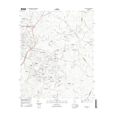
2014 Map of Athens East
USGS Topo · Published 2014About this map
The North Oconee River and Oconee River converge in the southern portion of this landscape, marking the historic industrial and educational core of Athens. This 2014 survey documents the dense suburban expansion of the city eastward into Oglethorpe County, showing a complex network of residential developments such as Lexington Heights, Green Acres, and Hunters Ridge. The institutional footprint of the University of Georgia is prominent near the river, situated alongside the historic Oconee Hill Cemetery.
Find a feature on this map
79 named features on this map. Tap any name to fly to it.
Don’t see what you’re looking for? This feature index may not catch every label — zoom into the map to look around manually.
Map Details
Editions of this 2014 Athens East Map
This is the sole edition of this map. No revisions or reprints were ever made.
Other maps of this area

1891 · Carnesville
USGS Topo · 1:125,000

1953 · Athens
USGS Topo · 1:250,000

1954 · Greenville
USGS Topo · 1:250,000

1958 · Greenville
USGS Topo · 1:250,000

1958 · Athens
USGS Topo · 1:250,000

1958 · Danielsville
USGS Topo · 1:62,500

1959 · Athens
USGS Topo · 1:250,000

1963 · Athens
USGS Topo · 1:250,000

1964 · Athens West
USGS Topo · 1:24,000

1964 · Barnett Shoals
USGS Topo · 1:24,000