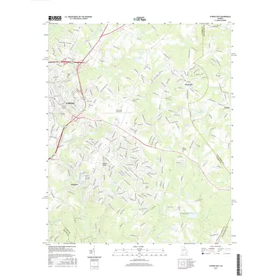
2017 Map of Athens East
USGS Topo · Published 2017About this map
The North Oconee River and the Oconee River converge south of the city, defining the drainage patterns of this Clarke County landscape. The eastern outskirts of Athens are shown in detail, where residential developments like Green Acres sit alongside established sites like the Athens/Ben Epps Airport. This area is particularly rich in family and community burial grounds, preserving local history through sites such as the Gospel Pilgrim Cem, Oconee Hill Cem, and several smaller rural plots like Bates Cem and Lester Cem. To the east, the independent municipality of Winterville and the settlement of Dunlap are prominent, while the southern reaches are marked by the Whitehall community near Peeler Pond. The land is fragmented by a dense network of local roads and water bodies, including Christian Lake and Thompson Lake, illustrating the transition from urban center to rural homesteads.
Find a feature on this map
254 named features on this map. Tap any name to fly to it.
Don’t see what you’re looking for? This feature index may not catch every label — zoom into the map to look around manually.
Map Details
Editions of this 2017 Athens East Map
This is the sole edition of this map. No revisions or reprints were ever made.
Other maps of this area

1891 · Carnesville
USGS Topo · 1:125,000

1953 · Athens
USGS Topo · 1:250,000

1954 · Greenville
USGS Topo · 1:250,000

1958 · Greenville
USGS Topo · 1:250,000

1958 · Athens
USGS Topo · 1:250,000

1958 · Danielsville
USGS Topo · 1:62,500

1959 · Athens
USGS Topo · 1:250,000

1963 · Athens
USGS Topo · 1:250,000

1964 · Athens West
USGS Topo · 1:24,000

1964 · Barnett Shoals
USGS Topo · 1:24,000