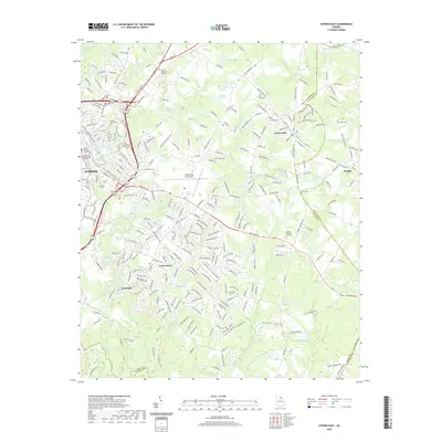
2020 Map of Athens East
USGS Topo · Published 2020About this map
The University of Georgia campus and the historic core of Athens anchor the western edge of this 2020 landscape, where the urban grid gives way to the suburban and industrial corridors of eastern Clarke County. The river systems define the local geography, with the North Oconee River and Middle Oconee River framing the southern settlements like Whitehall. This era shows a complex mix of academic institutions, such as Athens Technical College, and significant aviation infrastructure at the Athens/Ben Epps Airport.
Find a feature on this map
274 named features on this map. Tap any name to fly to it.
Don’t see what you’re looking for? This feature index may not catch every label — zoom into the map to look around manually.
Map Details
Editions of this 2020 Athens East Map
This is the sole edition of this map. No revisions or reprints were ever made.
Other maps of this area

1891 · Carnesville
USGS Topo · 1:125,000

1953 · Athens
USGS Topo · 1:250,000

1954 · Greenville
USGS Topo · 1:250,000

1958 · Greenville
USGS Topo · 1:250,000

1958 · Athens
USGS Topo · 1:250,000

1958 · Danielsville
USGS Topo · 1:62,500

1959 · Athens
USGS Topo · 1:250,000

1963 · Athens
USGS Topo · 1:250,000

1964 · Athens West
USGS Topo · 1:24,000

1964 · Barnett Shoals
USGS Topo · 1:24,000